USE CASES
Serbia
Hydrosistem
Danube - Tisa - Danube
Site description
The Danube-Tisa-Danube hydrosystem (Hs DTD) connects the Danube and Tisa rivers through Vojvodina and represents a unique hydrotechnical system, the main purposes of which are: drainage, irrigation, water supply, acceptance of used water, navigation, acceptance of water from the territory of neighboring countries, forestry , fishing, tourism and recreation. The maintenance and functioning of Hs DTD is financed from the Budget Fund for Water, namely from: fees for drainage, fees for the use of water facilities and systems, and fees for the use of water resources.
PWMC Vode Vojvodine covers its activities the territory of AP Vojvodina on an area of 21,506 km2 from about 2,000,000 inhabitants. This exceptional area is a unique hydro-engineering system for flood control and hydrotechnical management, amelioration, forestry, water supply, waste water evacuation, navigation, tourism, fishing, hunting.
A total of 1,060,000 ha of land is drained through Hs DTD, namely: 550,000 ha from Bačka, and 510,000 ha from Banat.Through Hs DTD, 1,060,000 ha of land is drained from our territory, 159,000 ha from Hungarian territory, and 285,000 ha from Romanian territory.Hs DTD receives 326 m³/s of water: in Bačka 156 m³/s, and in Banat 170 m³/s.From Hs DTD it is possible to irrigate 510,000 ha: in Bačka 210,000 ha (84 m³/s), and in Banat 300,000 ha (120 m³/s).The length of the Hs DTD waterways is 600.6 km: 355.5 km in Bačka, and 245.1 km in Banat.
Critical points for navigation in length of waterways: Tisa 164 km, Sava 207 km, Danube 587.5 km, while the length of waterways on Hs DTD is 600.6 km: in Backa 355.5 km and 245.1 km in Banat.


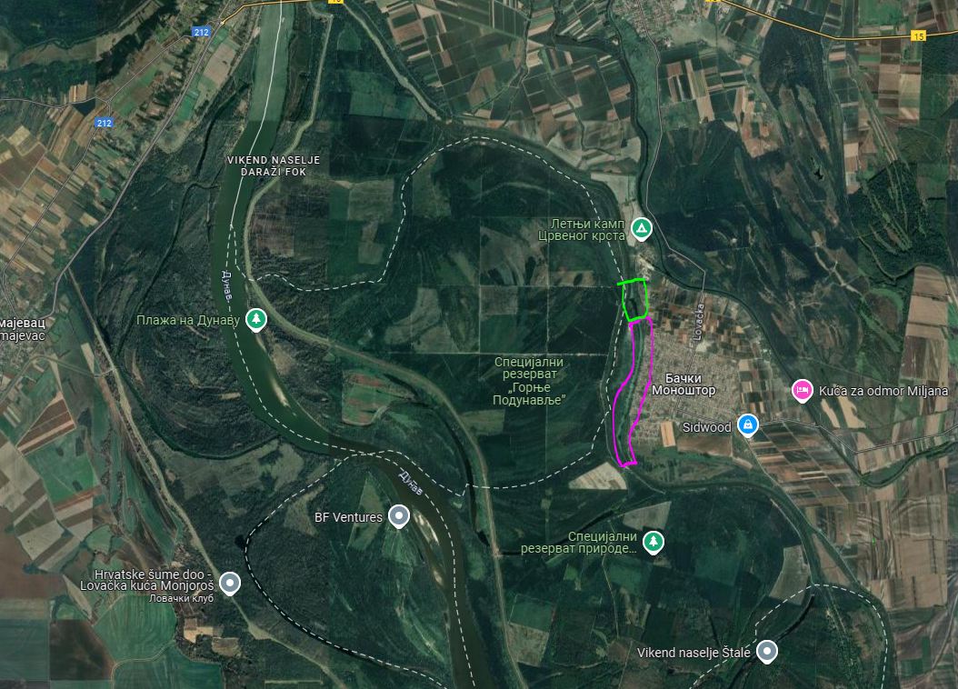
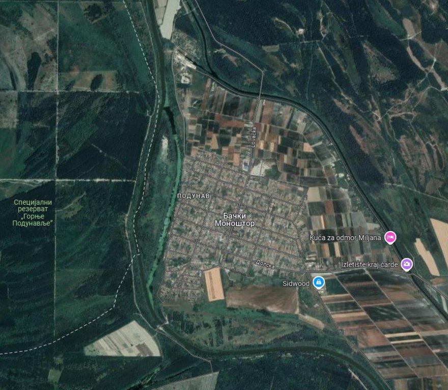
Map of the site
At Hs DTD, cargo ships with a carrying capacity of up to 1,000 t can currently sail at 345.3 km, vessels with a carrying capacity of 500 t at 558.3 km and vessels with a carrying capacity of 200 t can sail at 600.6 km. There are about 30 transshipment points on the Hs DTD channels – docks, specialized docks and docks with landfill. The possible annual traffic on Hs DTD waterways is about 7,000,000 t. In the past few years, the turnover is about 1,000,000 t, and the highest realized turnover was in 1979 and was 4,213,000 t. Types of goods: gravel and sand – 80%, stone – 5%, agricultural products 1 – 2%, wood 3 – 5%, coal, metals, oil and oil derivatives – up to 10%.Since the construction of HS DTD, It is estimated that a total of 27 million m3 of sludge has been entered into the canals.
The current state of sediment in the HS DTD channel network is estimated at around 17 million m3.The analysis was performed on the basis of data from 2008.Based on these analyses, it can be concluded that in the course of one year, about 700,000 m3 of sludge is entered into the entire system of the channel network HS DTD. The maintenance and functioning program of HS DTD (regular maintenance of canals and facilities), in accordance with the available sources of financing, annually removes about 400,000 m3 of sediment from the canal network of HS DTD. Dredging is the most efficient and common way of removing sediment. Most of it is ground with our own machinery (floating dredges-refuellers), and the other part with land dredges, which are carried out by third parties who received jobs through public procurement procedures.
Key information
PHY2CLIMATE – A global approach for recovery of arable land through improved phytoremediation coupled with advanced liquid biofuel production and climate friendly copper smelting process. The project will optimize energy crops for phytoremediation by targeting different classes of known soil pollutants and will be integrated into the process of converting to biofuels strategy to extract these pollutants in concentrated form. The entire process will be optimized in terms of costs and sustainability. In the project, various researches for phytoremediation will be carried out at several pilot locations, four of which are in Serbia, Spain, and Argentina.
This task will addressee the correction of water velocity to reduce sedimentation on the riverbed, i.e., in the navigable fairway of the Danube, and the erosion occurring in the riverbanks. Therefore, PWMCVV will provide the necessary information for the implementation of this task and all the support needed for that HPI to implement the concept design of the proposed nature-based solution to improve the sediment transport on Danube River sector established for the demonstration the effectiveness of the solution. HPI design will be based on the measurements and data collected by the interdisciplinary team during in-situ activities, including the collection of samples, bathymetric measurements, and the use of GIS technology and modelling of the sediment flow for the studied section s, as described in WP 3 of the project and in WP2.
In addition, within the use case demonstration in Serbia, FTN-UNS will deliver solutions regarding the possible use of (polluted) sediment as a construction material.
The Danube river is a dynamic system that is constantly changing. Every year is different in terms of climatic conditions, rainfall and water levels.
- Establishing nature-based solutions for sediment management;
- Preserving the sediment balance;
- Improvement of the environmental status of the river.
Key numbers

Partners

Public Water Management Company Vode Vojvodine

Universitatea „Dunarea de Jos” din Galați

Eden Tech

Asociatia Romanian River Transport Cluster

Ben-Gurion University of the Negev

University of Novi Sad Faculty of Sciences

University of Novi Sad Faculty of Technical Sciences

EDENTIFY FOUNDATION, Tallinn, Estonia

Eigen Vermogen Flanders Hydraulics

Marine Research

Hydro Proiect Invest
Contact information
Site coordinator
Public managing company
“Vode Vojvodine” Novi Sad