USE CASES
Romania
Corabia - Turnu Magurele
(rkm 625 - rkm 602)
Site description
The sector is for about 23 km length from river km 602 to river km 625, and is located in the common Romanian – Bulgarian Danube sector. From hydrological point of view is a free-flowing section with a water level difference between max and min, registered in 2024 for about 5.00 m, (historical difference is for about 9.20 m)
The Use case Romania, sector, is under Natura 2000 ecological network as follow: Romania (ROSPA0024) Protected under the Birds Directive and Bulgaria (BG0000335) Protected under the Habitats Directive.
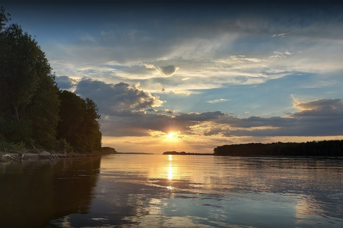
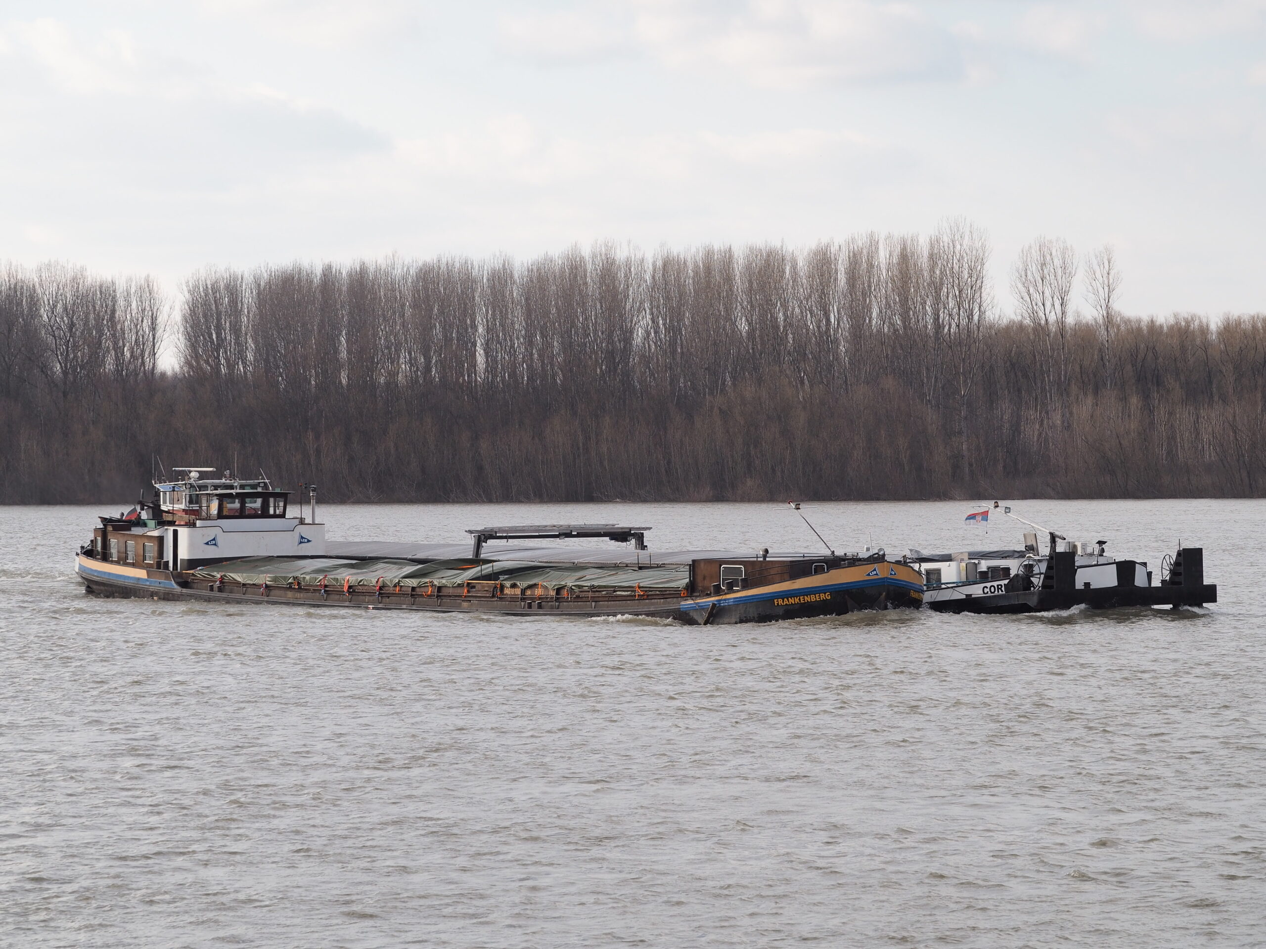
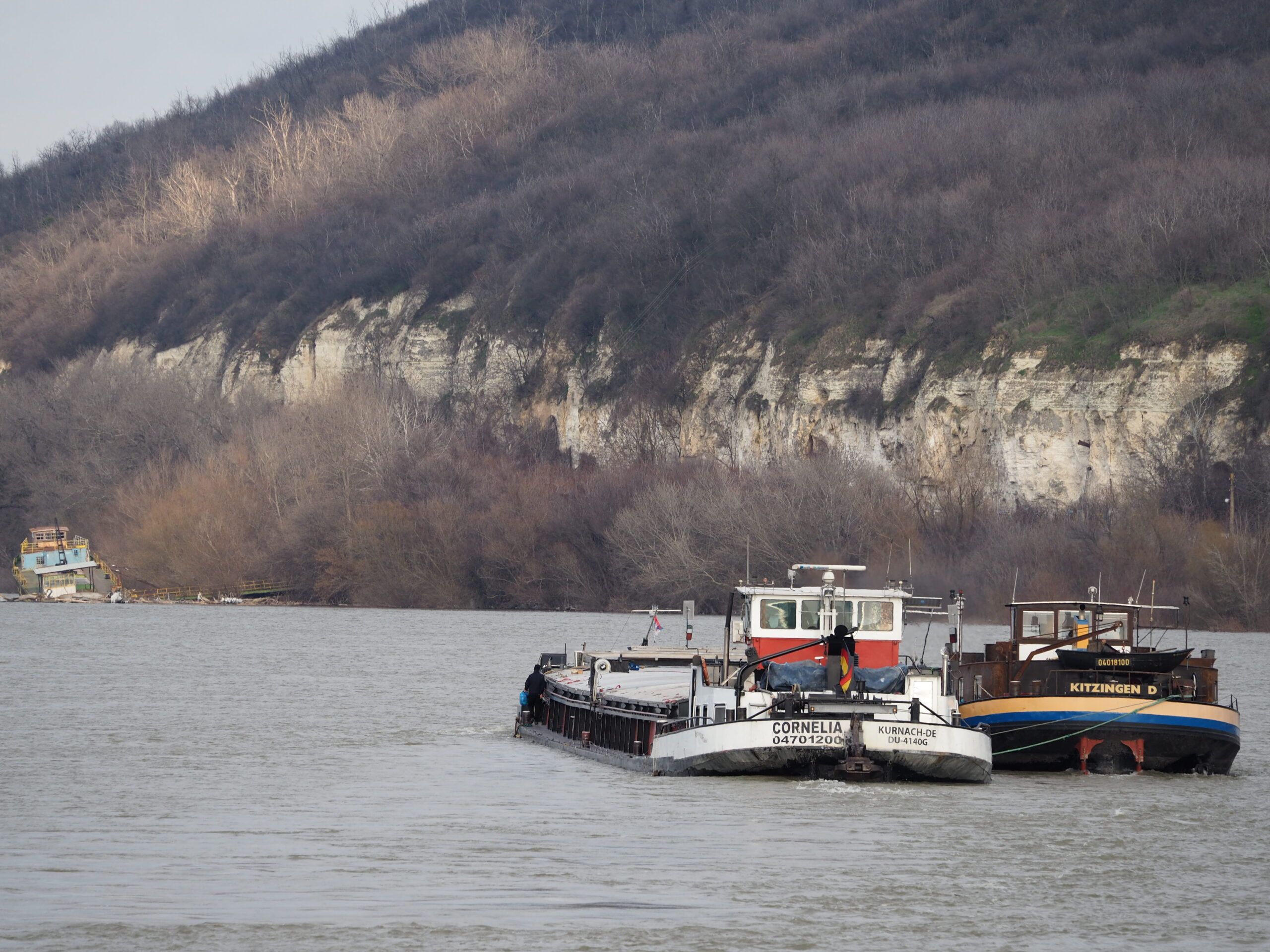
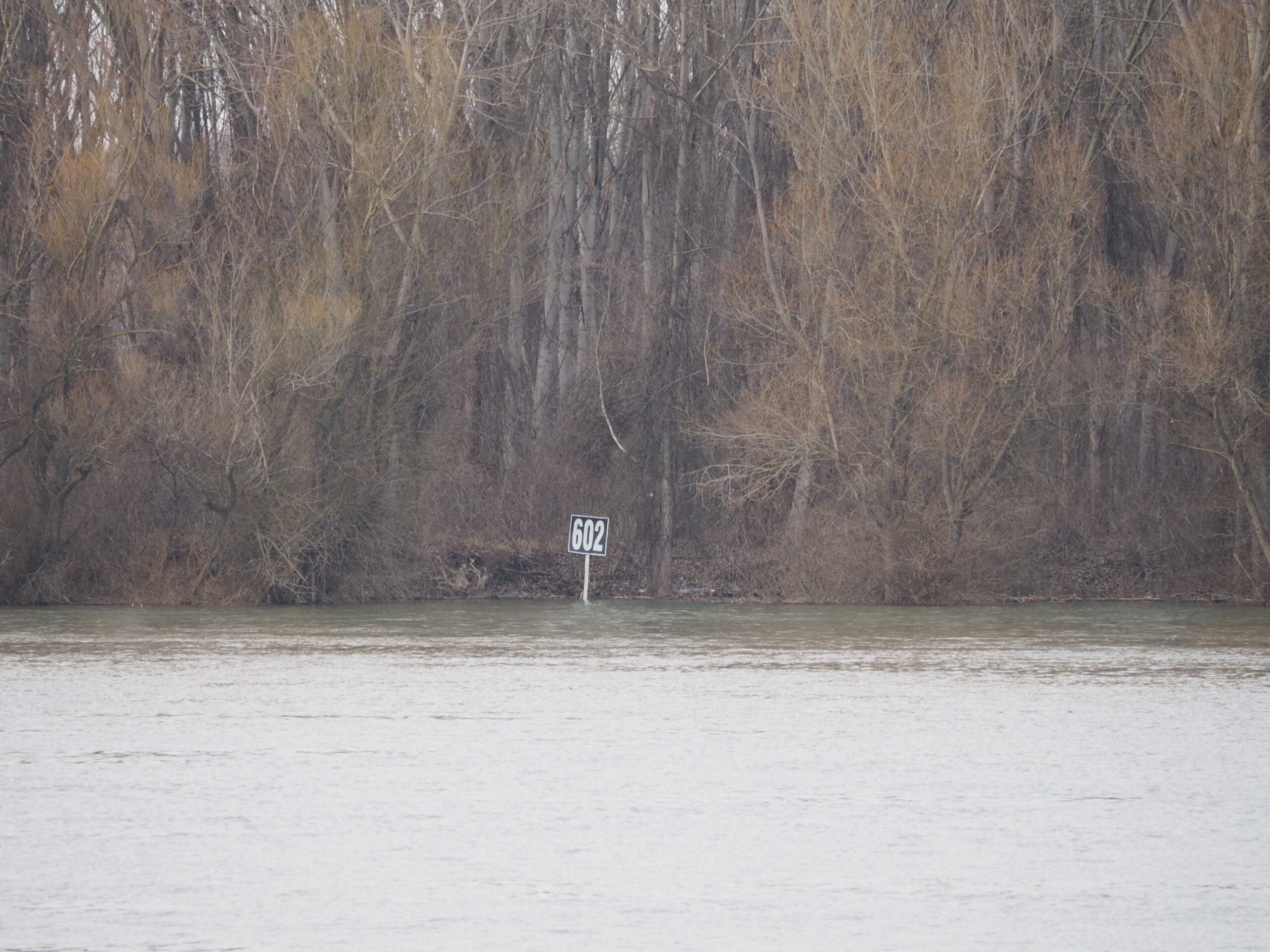
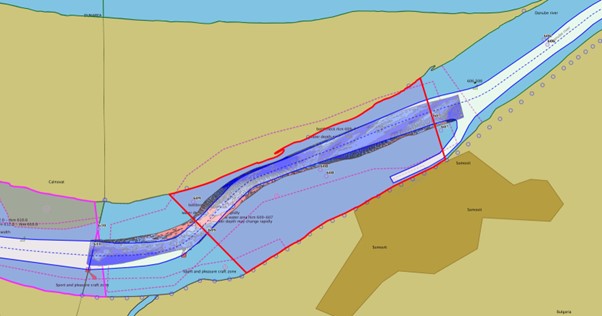
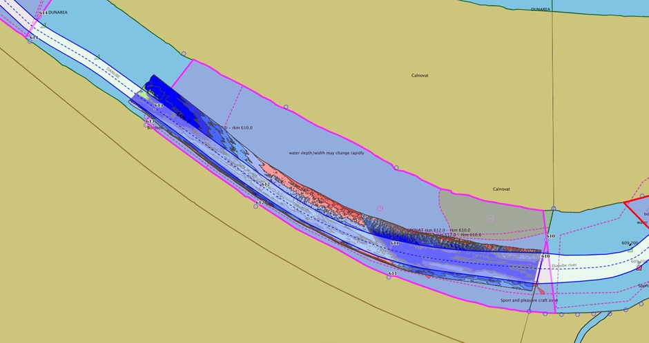
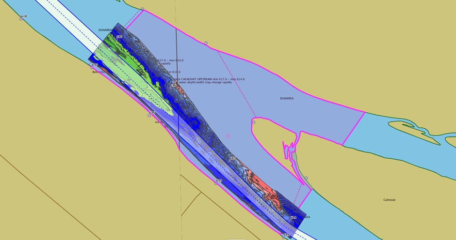
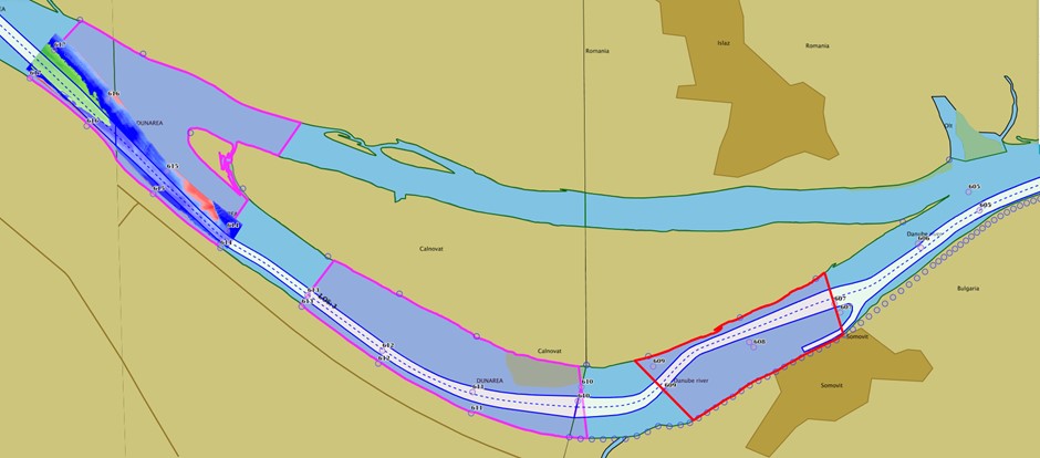
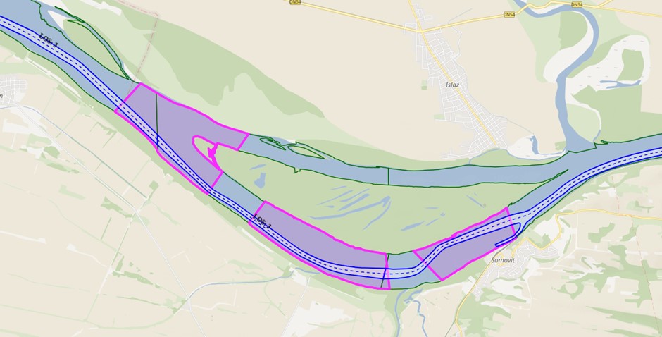
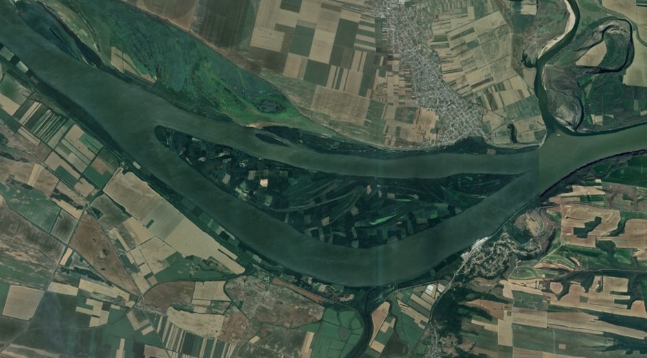
Map of the site
In this sector, there are 3 critical points for navigation as follow: Somovit rkm 607 – 609, Calnovat rkm 610 – 613, Calnovat Upstream rkm 614 – 617. The critical point Somovit, it is monitored by EAEMDR, due to the fact that is in the sector of Bulgaria, for maintenance and the others two, Calnovat and Calnovat upstream are monitored by AFDJ. (From rkm 375 – rkm 610, Bulgaria by EAEMDR is maintain the fairway and from rkm 610 – rkm 845, Romania by AFDJ maintain the fairway).
At least, one per month, a control survey is done, and results are share with the users, thru national website or EU platform.
Key information
FAST DANUBE 2 – Improvement of Navigation Conditions on the Romanian Bulgarian Common Sector of the Danube
FAIRway Danube II
DanubeSediment_Q2 – Sustainable, Integrated Transnational Sediment Quantity and Quality Management in the Danube River Basin
DISMAR
The activities will start with survey data needed for modelling, first step for bathymetric data as follow: in the area between km 617 and km 604, high resolution bathymetric data with a 5 m resolution is requested, then a 10 m resolution from km 622 to km 617 and as well a 10 m resolution bathymetry is preferred from km 625 to km 622, and from km 604 to km 602.5.

The second step is for topographic data, for the areas between 625 to 602, where there is possibility flooded when high water levels. Photos for vegetation will be provided from terrain.
Then, ADCP velocity / discharge profiles as follow in the picture.

Sediment sample, for giving information about the type and size of sediment in the area. Other additional multibeam measurements done in the past, is going to help, the modelling.
Due to the constant changes of discharge / water level, daily the hydrological conditions within the sector are changed. As results of these changes, sediment transport is in a dynamic process (deposing or erosion) with effort from Waterway Administration to keep good navigation condition. If the process of sediment transport is better known, the effort of Administration can be optimized.
- To improve the environment status of the river by known, well the sediment balance in the area.
Key numbers

Partners

Administratia Fluviala a Dunarii de Jos Galati

Universitatea „Dunarea de Jos” din Galați

Eden Tech

Asociatia Romanian River Transport Cluster

Ben-Gurion University of the Negev

University of Novi Sad Faculty of Sciences

Eigen Vermogen Flanders Hydraulics

University of Vienna

Hydro Proiect Invest

Danube hydro-meteorological observatory

Executive Agency "Exploration and Maintenance of the Danube River"

National Administration Apele Romane
Contact information
Site coordinator
R.A. Administrația Fluvială a Dunării de Jos Galați