
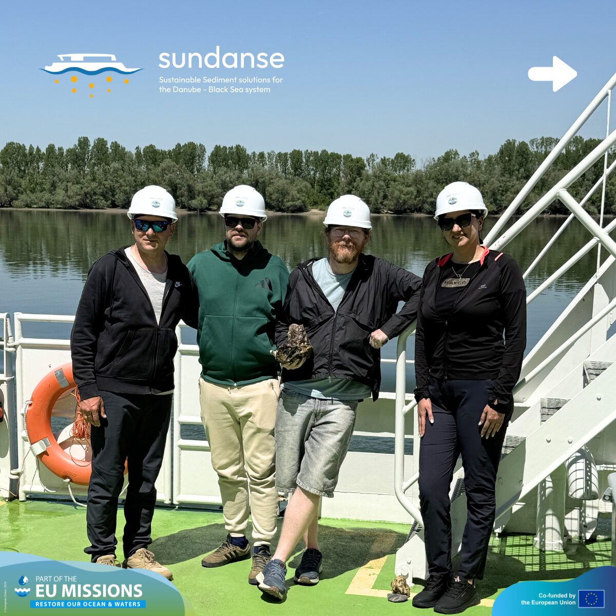
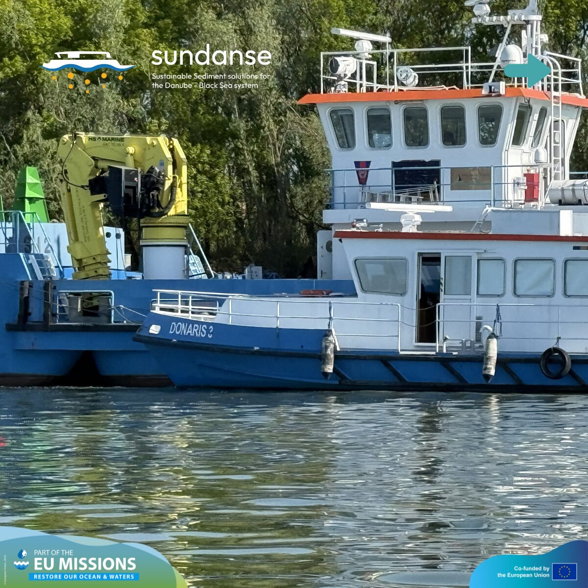
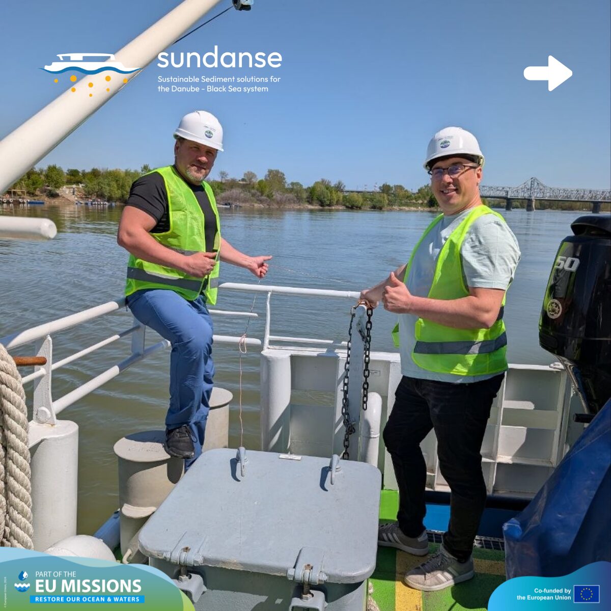
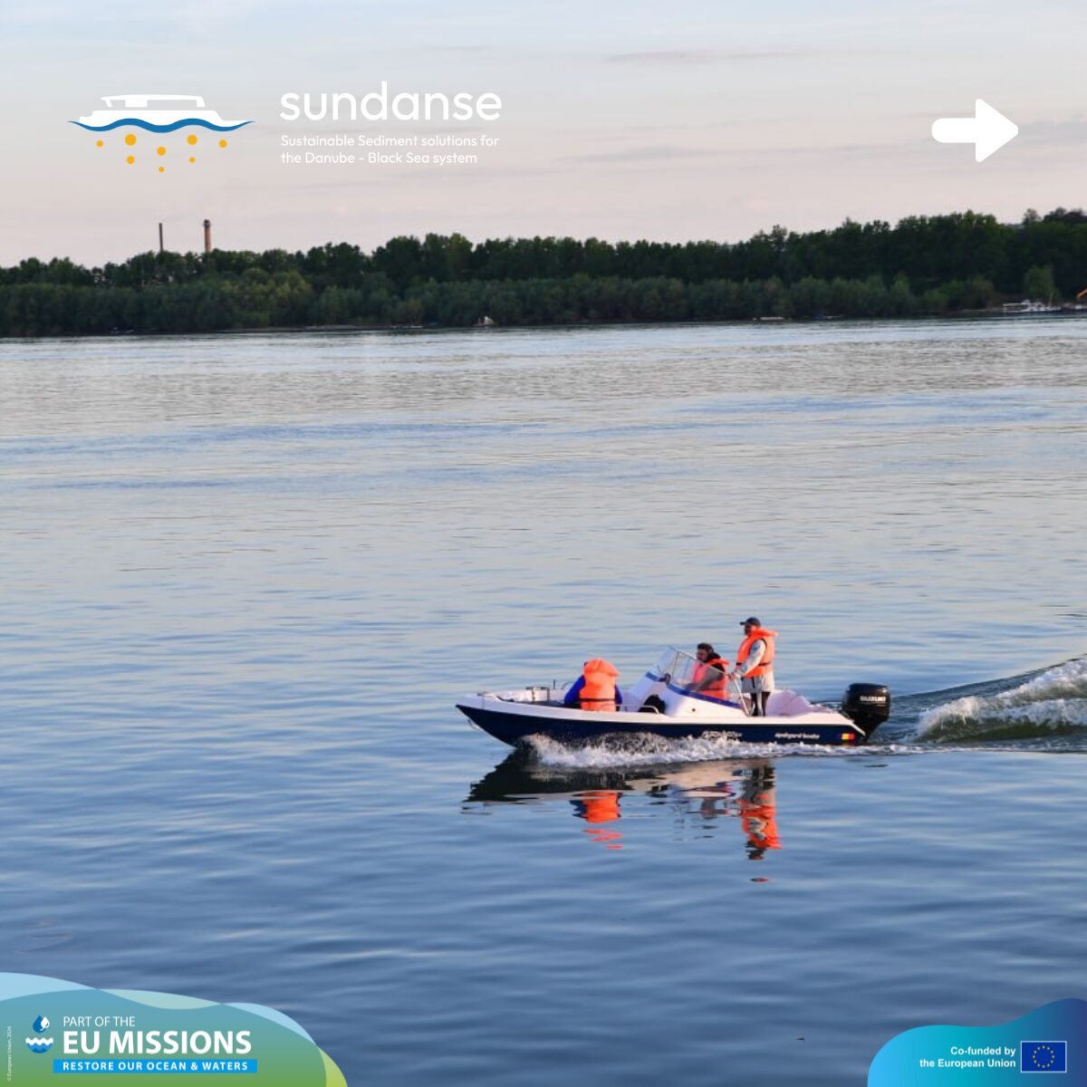
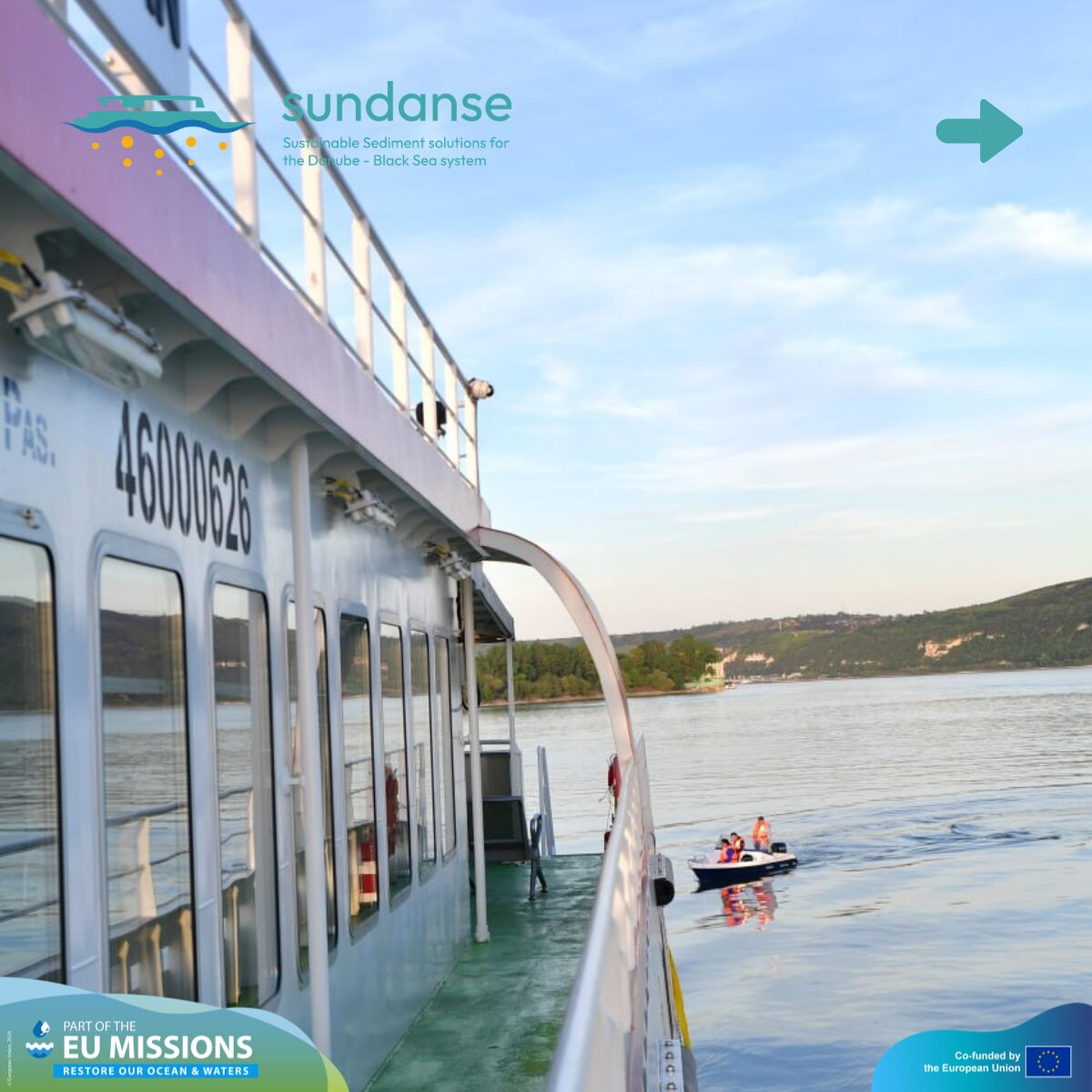
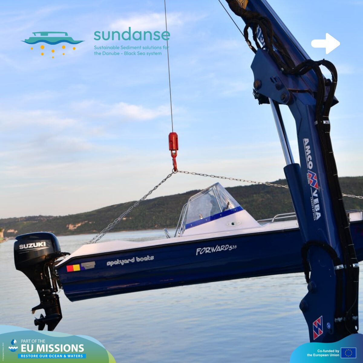
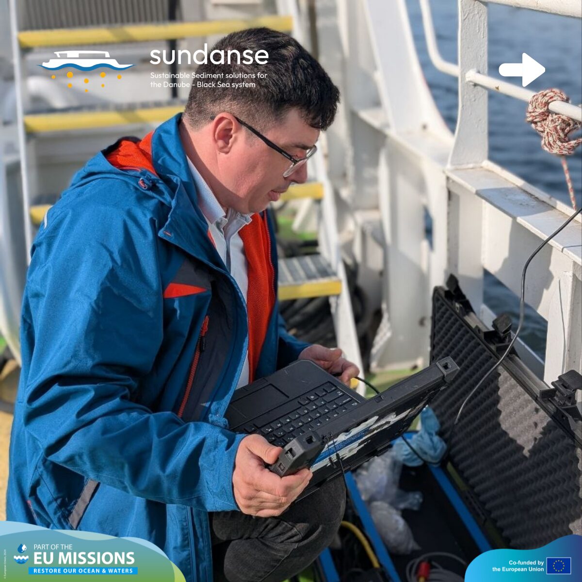
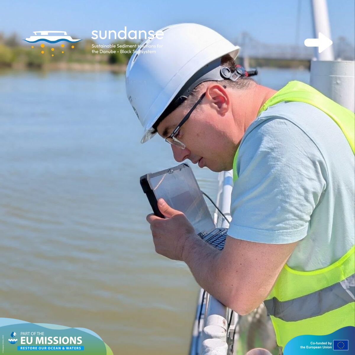
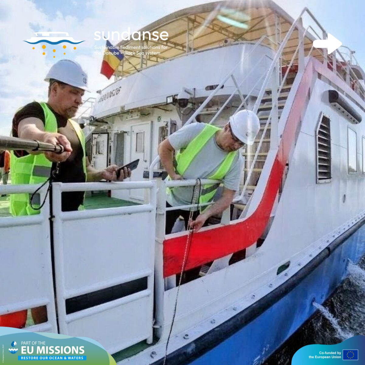
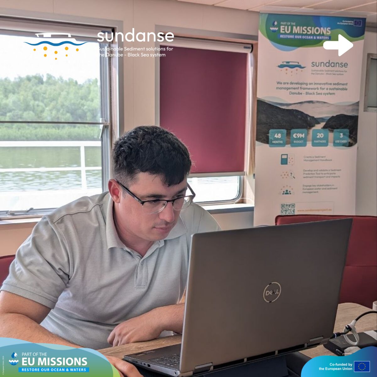
The SUNDANSE team aboard the REXDAN vessel has officially wrapped up its latest field campaign. Over the past several days, from April 24 to May 8, 2026, our team has been living and working on the Danube, moving through the Romanian Use Case sector to take a deep dive into the river’s health and physical changes.
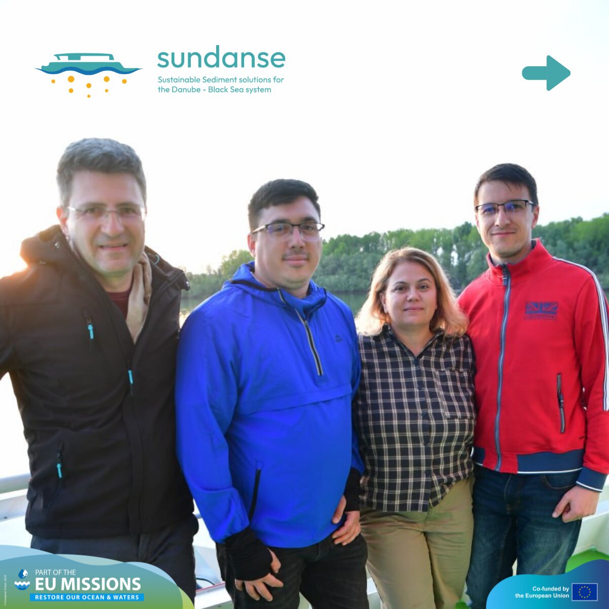
SUNDANSE expert-team onboard REXDAN included: “Dunarea de Jos” University of Galati, University of Novi Sad – Faculty of Science, National Ecological Center of Ukraine and Galati Lower Danube River Administration.
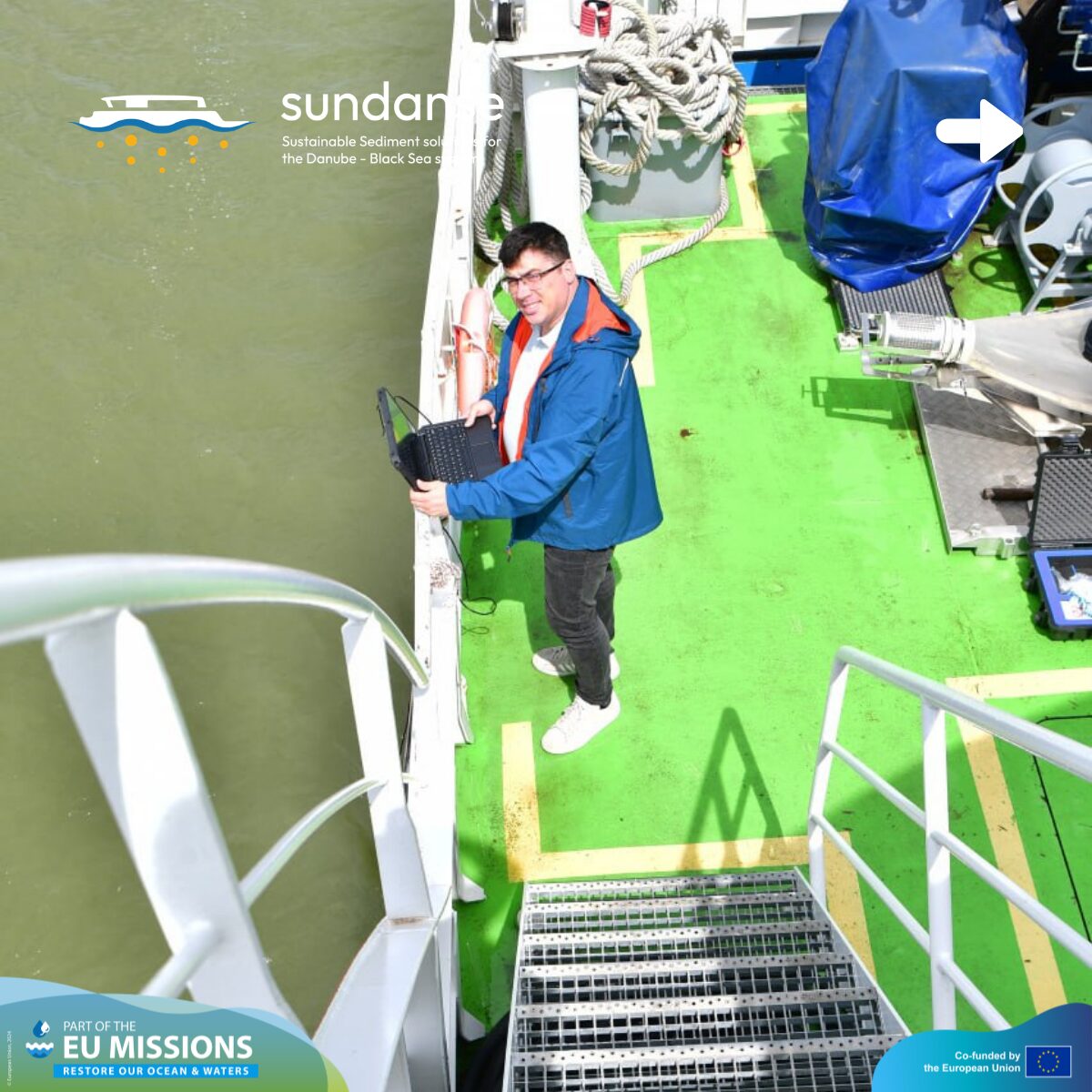
Below is a breakdown of the key activities the team conducted while on the water.
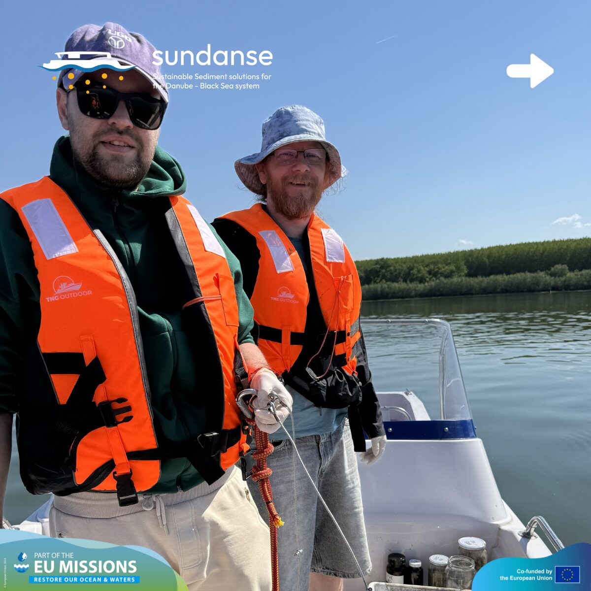
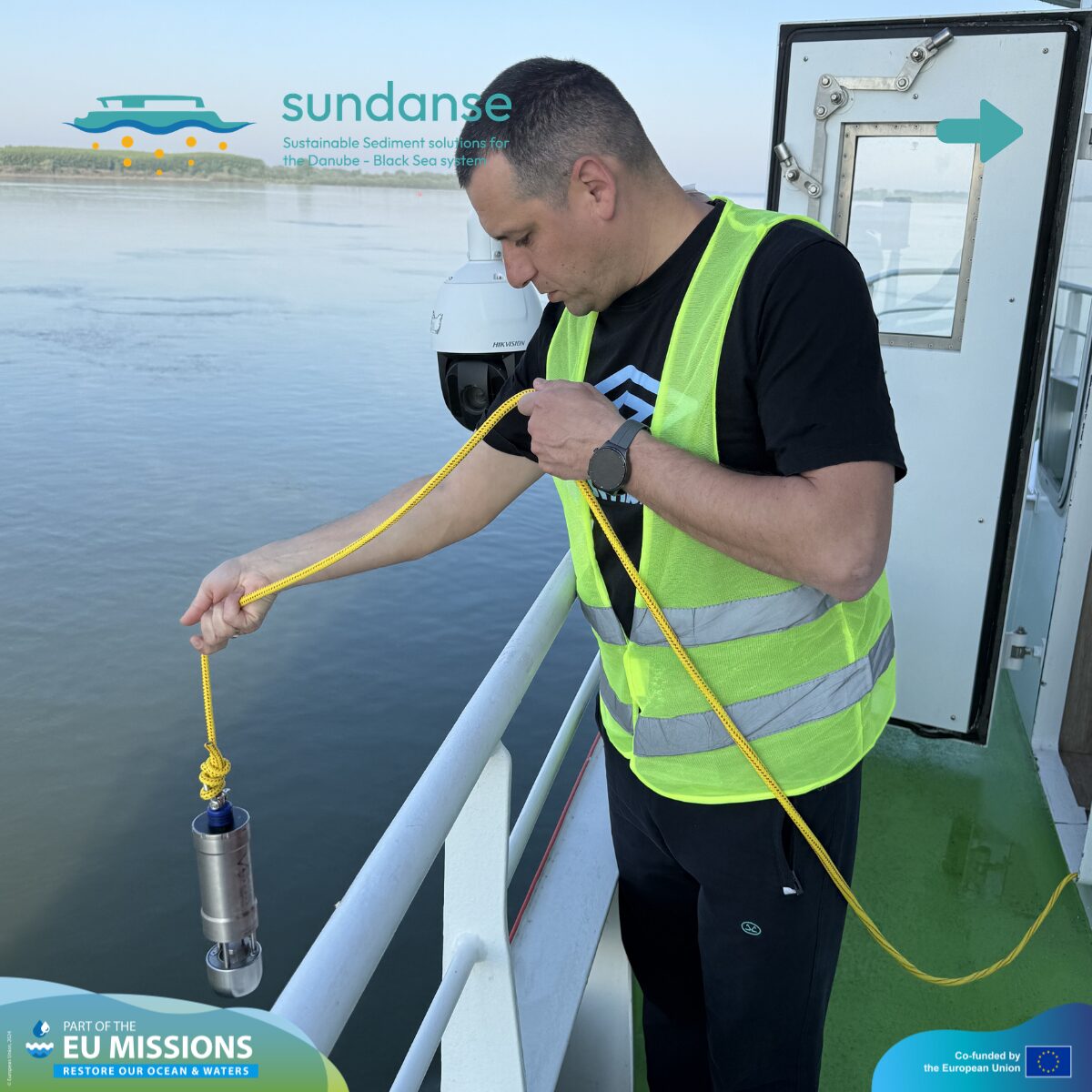
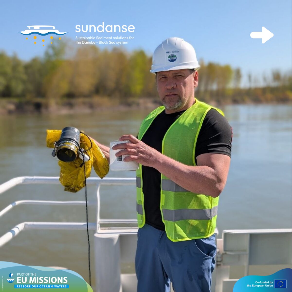
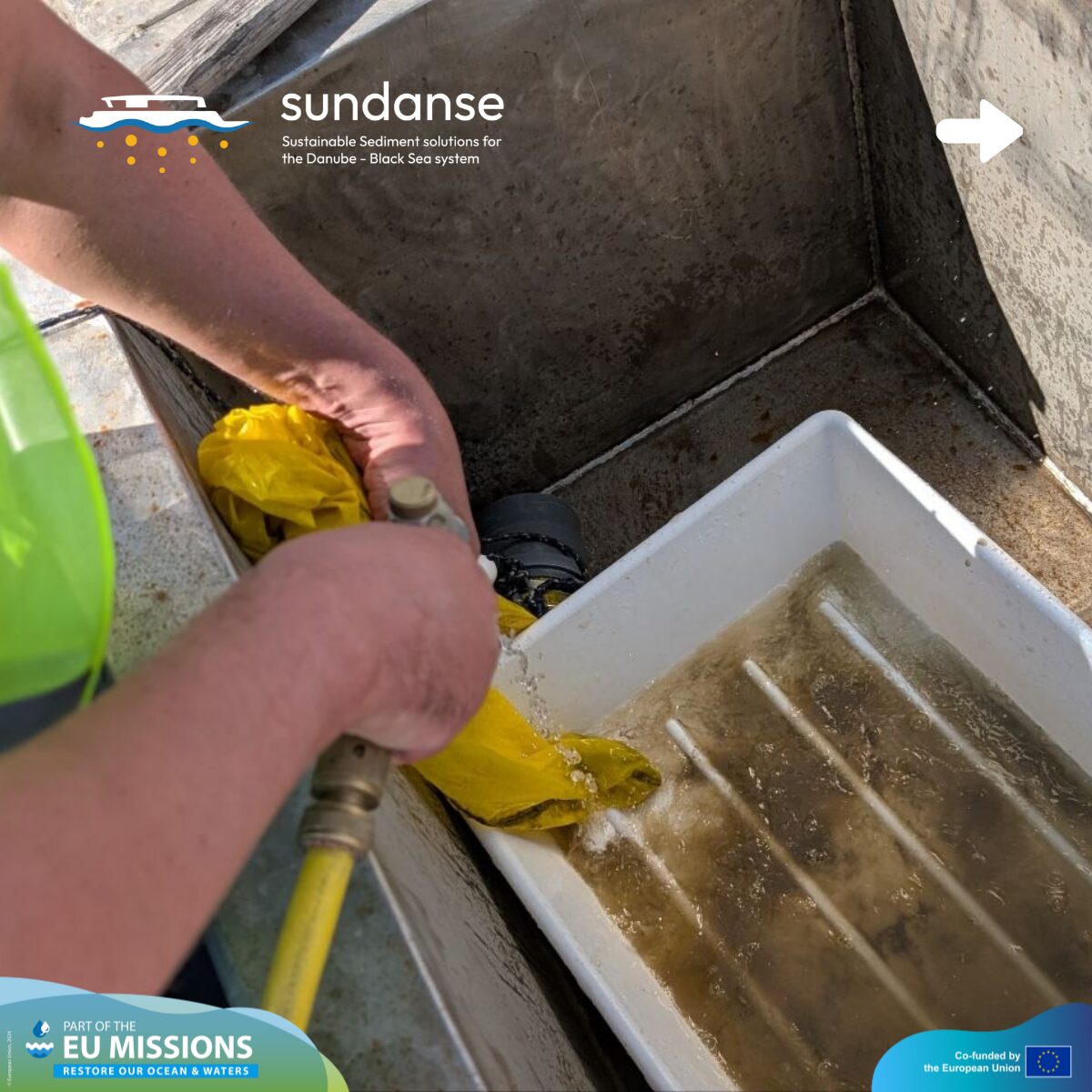
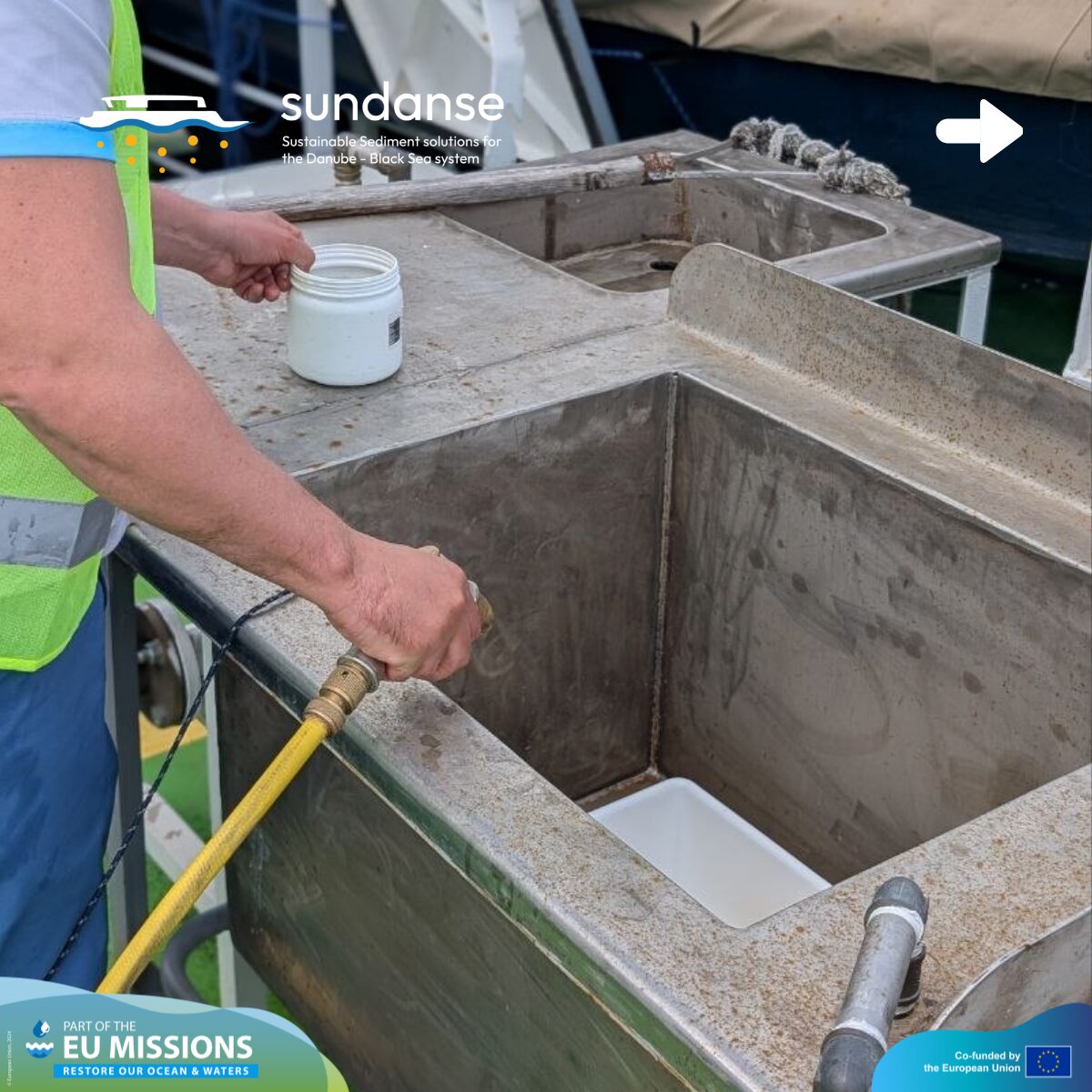
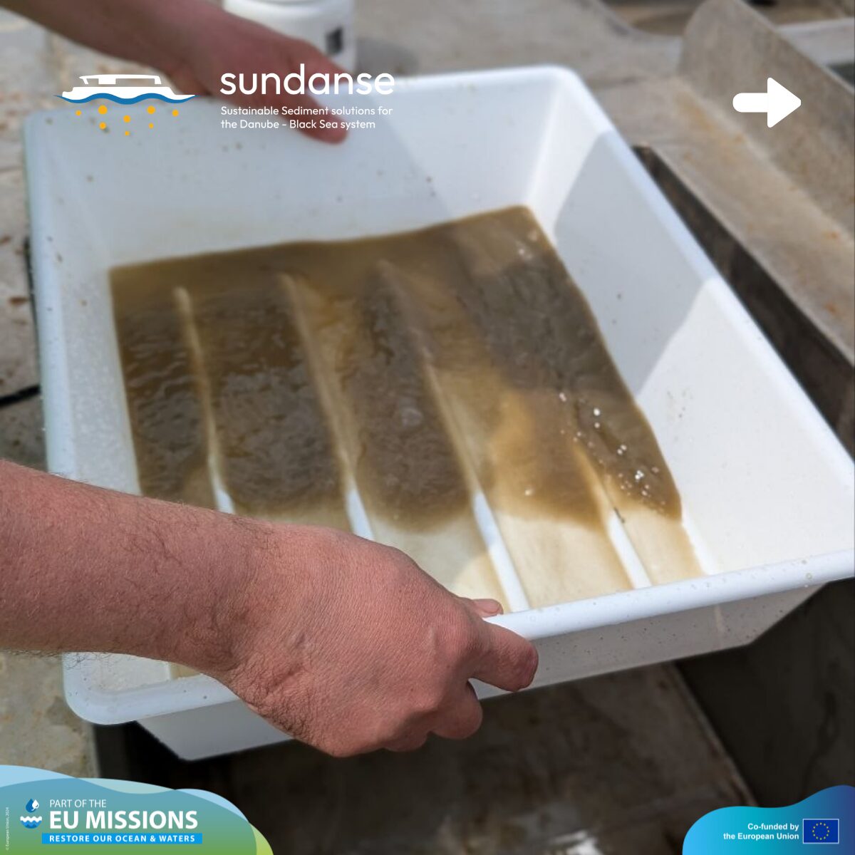
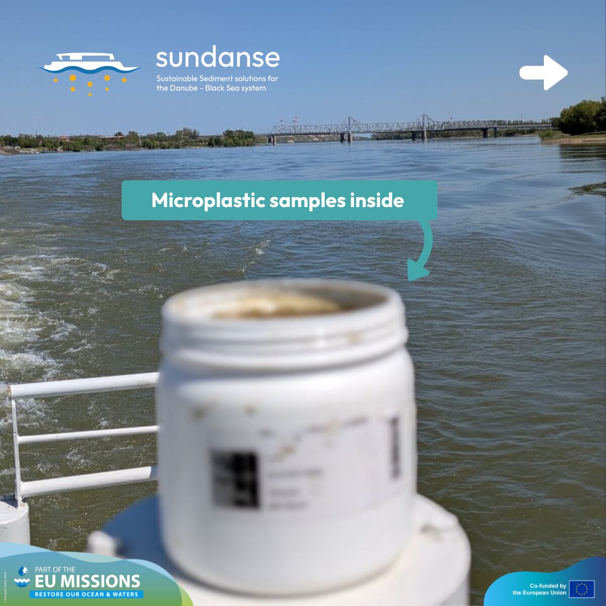
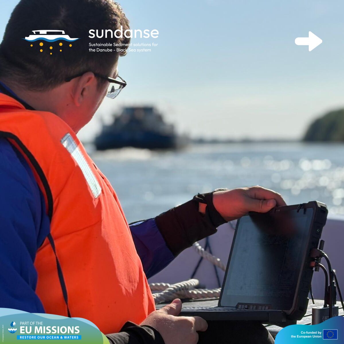
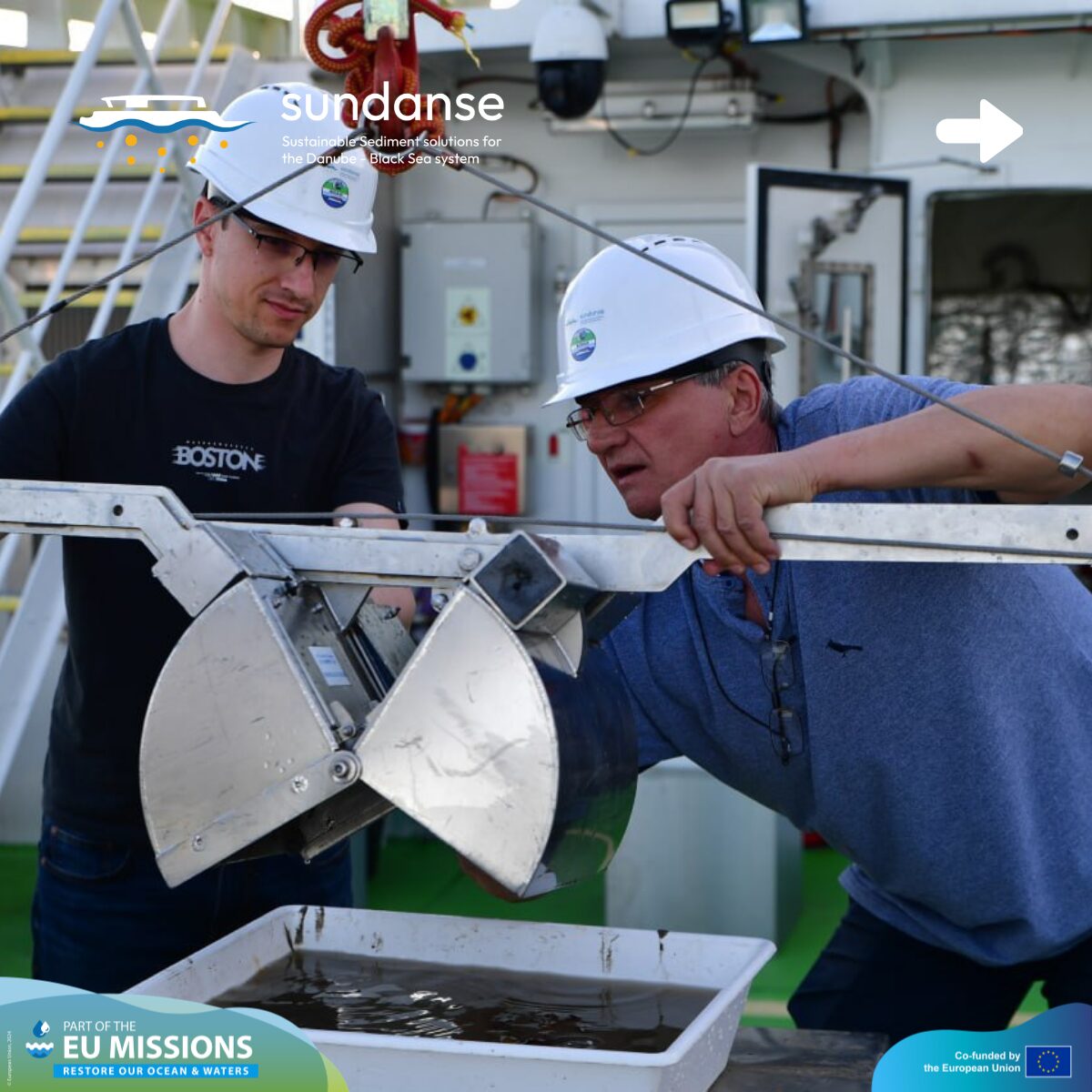
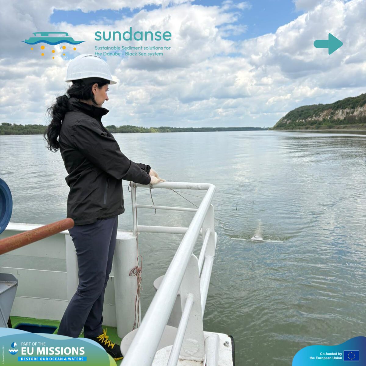
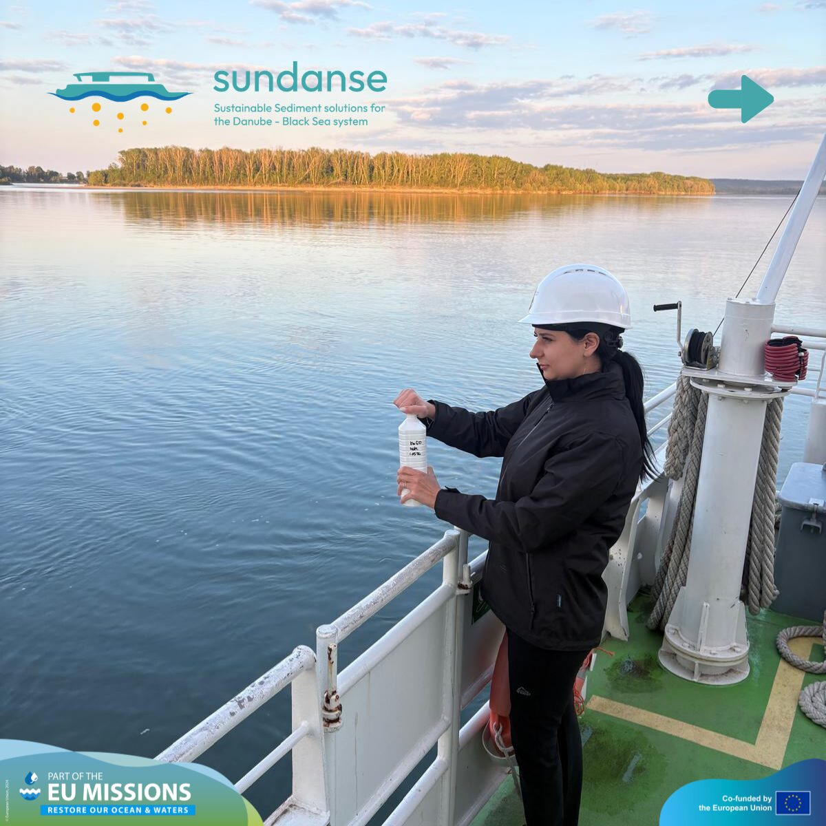
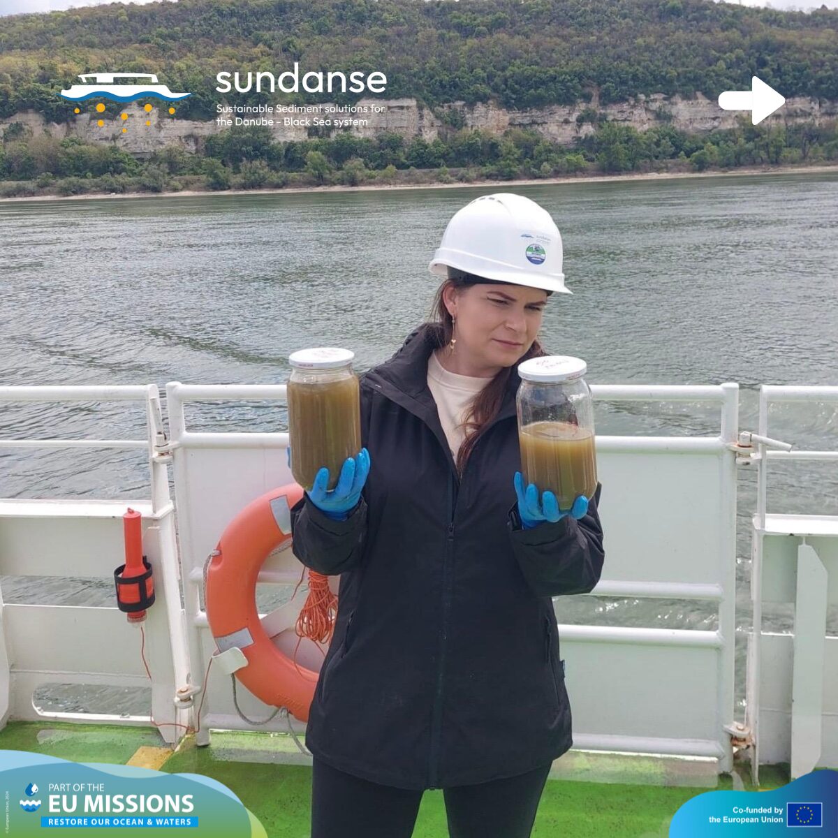
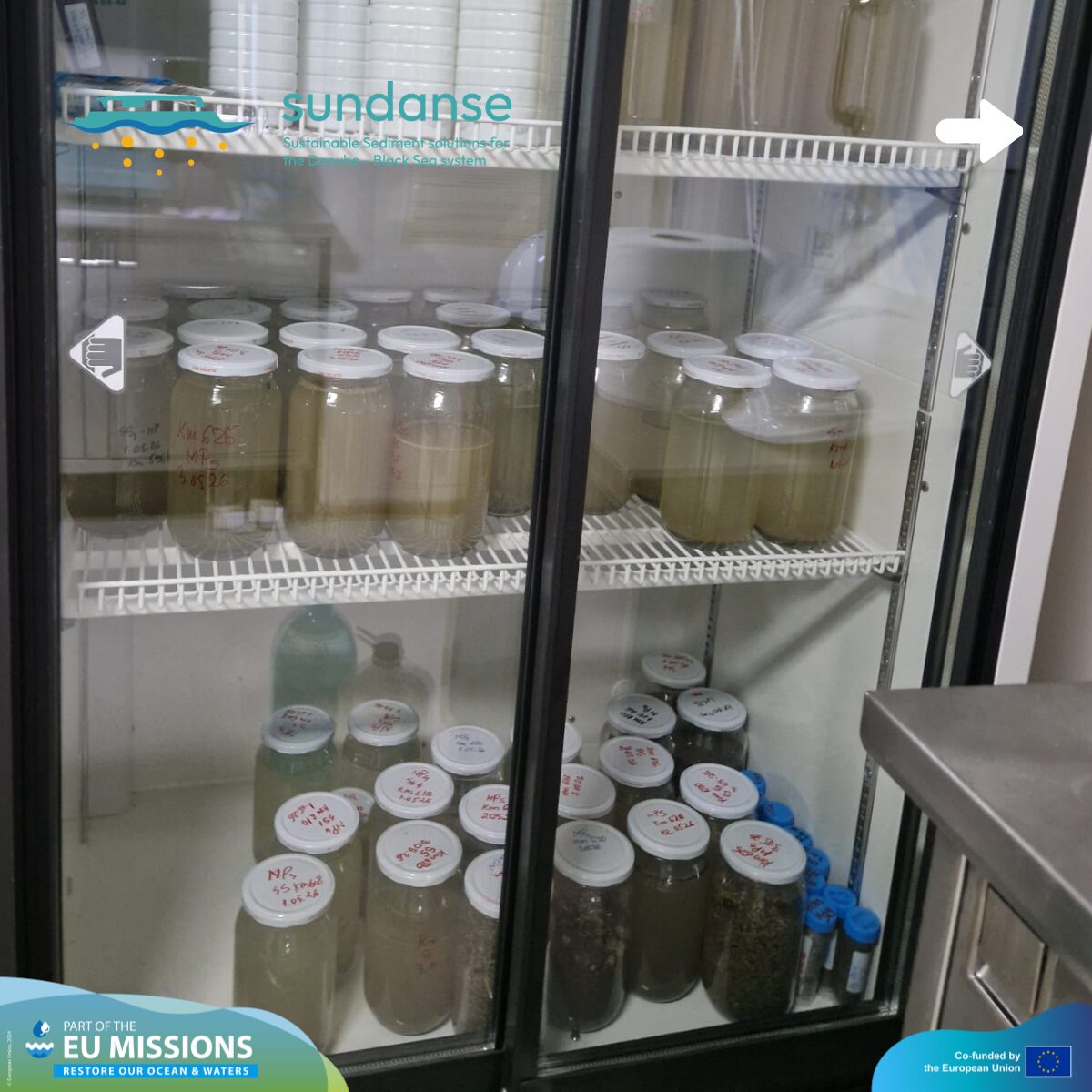
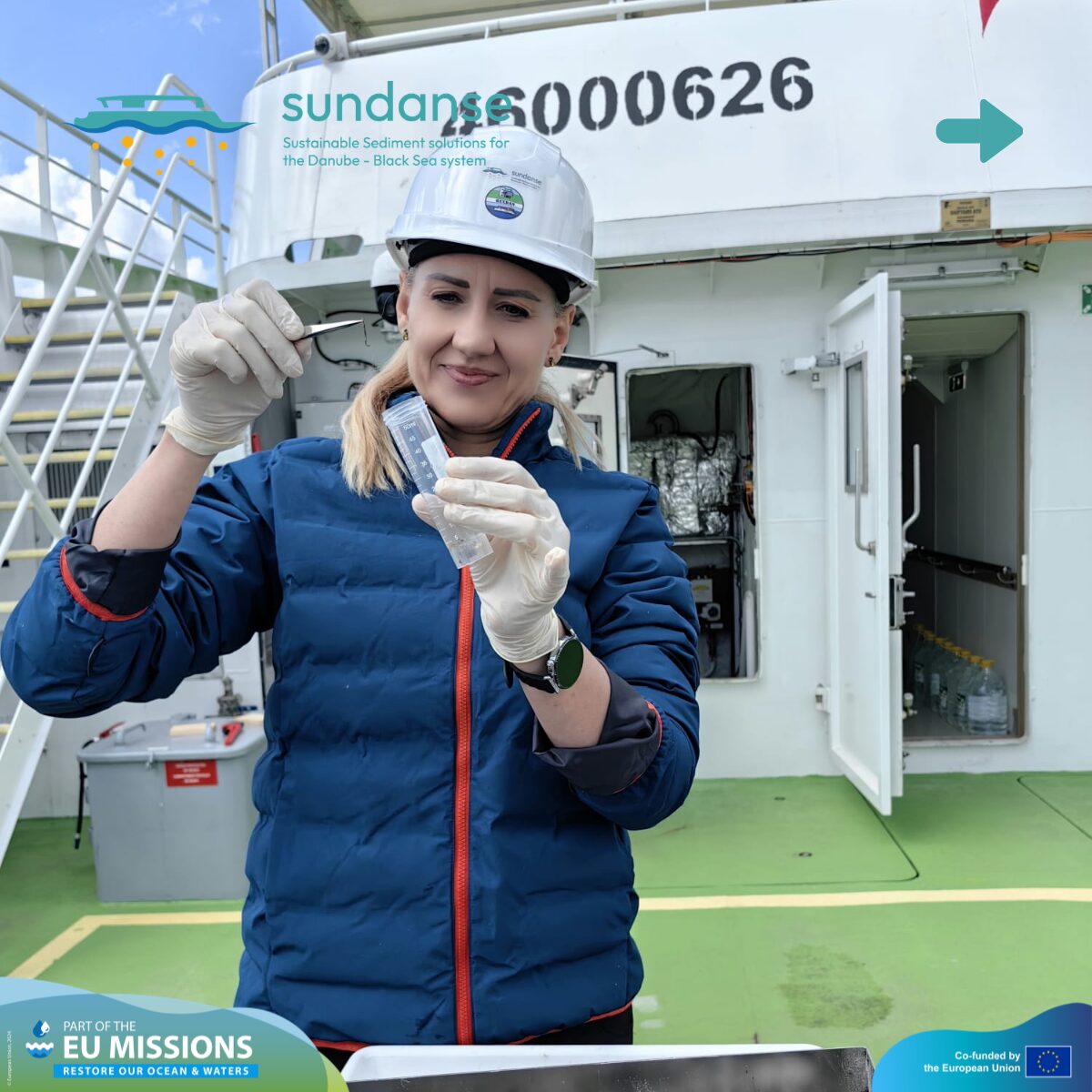
Activity 1: Water and Sediment Sampling
The core of our environmental assessment involves a joint effort between “Dunărea de Jos” University of Galați (UDJG) and the National Ecological Centre of Ukraine (NECU). Together, the SUNDANSE team is covering the long stretch of the Danube from Galați to Turnu Măgurele to monitor two critical health indicators: microplastics and suspended sediments. These elements tell us how pollutants move through the river and help us assess the overall environmental quality of the water.
Activity timeline:
-
April 24, 2026: The REXDAN vessel departed from Galați. The team immediately began work at km 180 and km 240, conducting the first round of water sampling and in-situ sediment monitoring.
-
April 25, 2026: Moving further upstream, measurements were carried out in the Făcăeni area (km 258) and upstream of the Fetești bridge (km 288). These distinct sections allow us to see how the river’s characteristics change as we move inland.
-
April 26, 2026: The team reached the Oltenița area (km 430), continuing through Ryahovo (km 470) and upstream of the Giurgiu bridge (km 490).
We successfully collected representative samples and measurements under real navigation conditions. This is vital because it shows how the river behaves during daily traffic, rather than in a closed environment. This data is essential for understanding the spatial variability of pollution – essentially mapping out which parts of the Danube are most affected and how sediment transport varies from one sector to another.
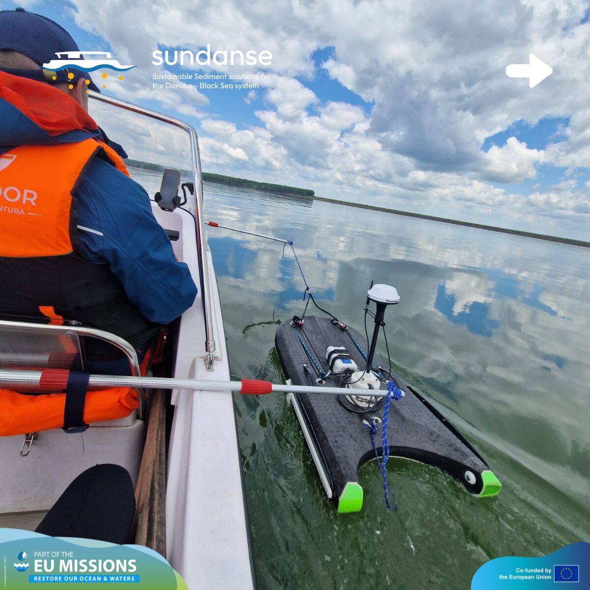
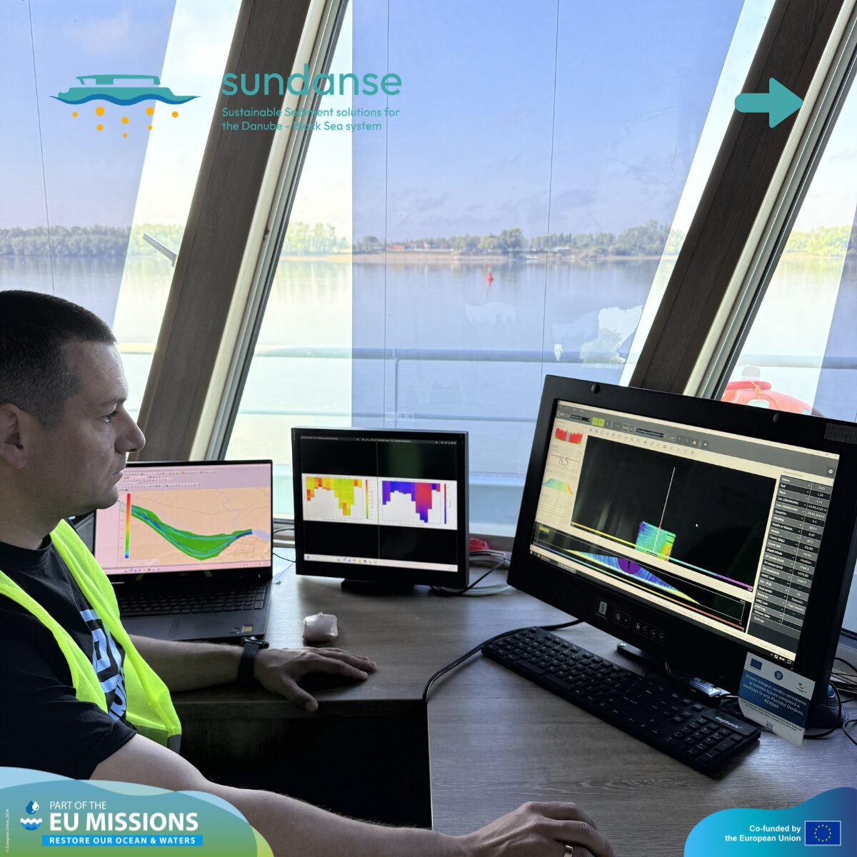
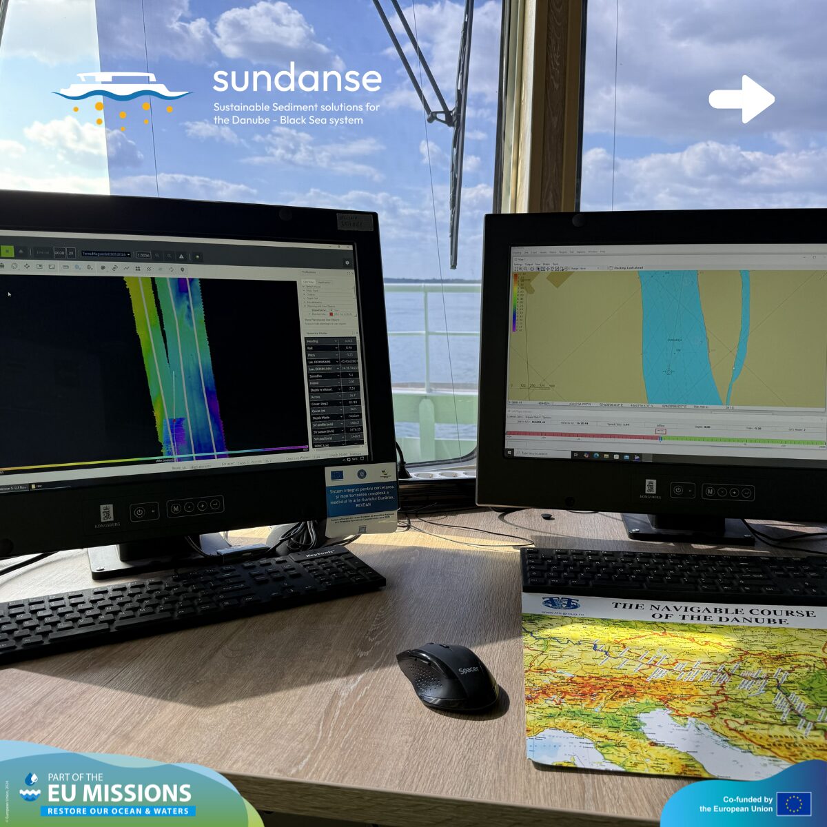
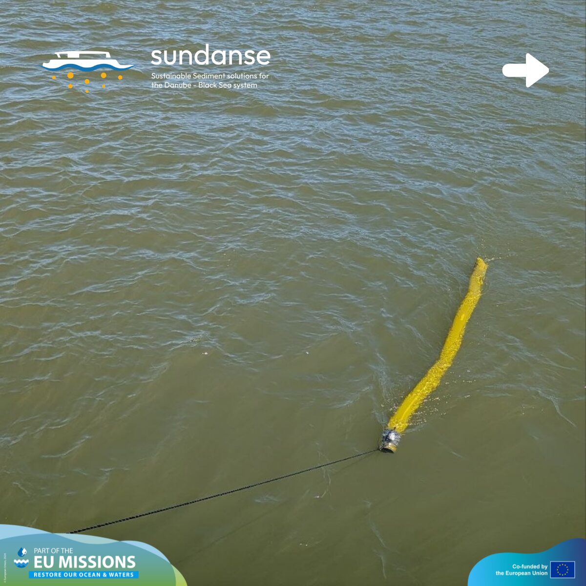
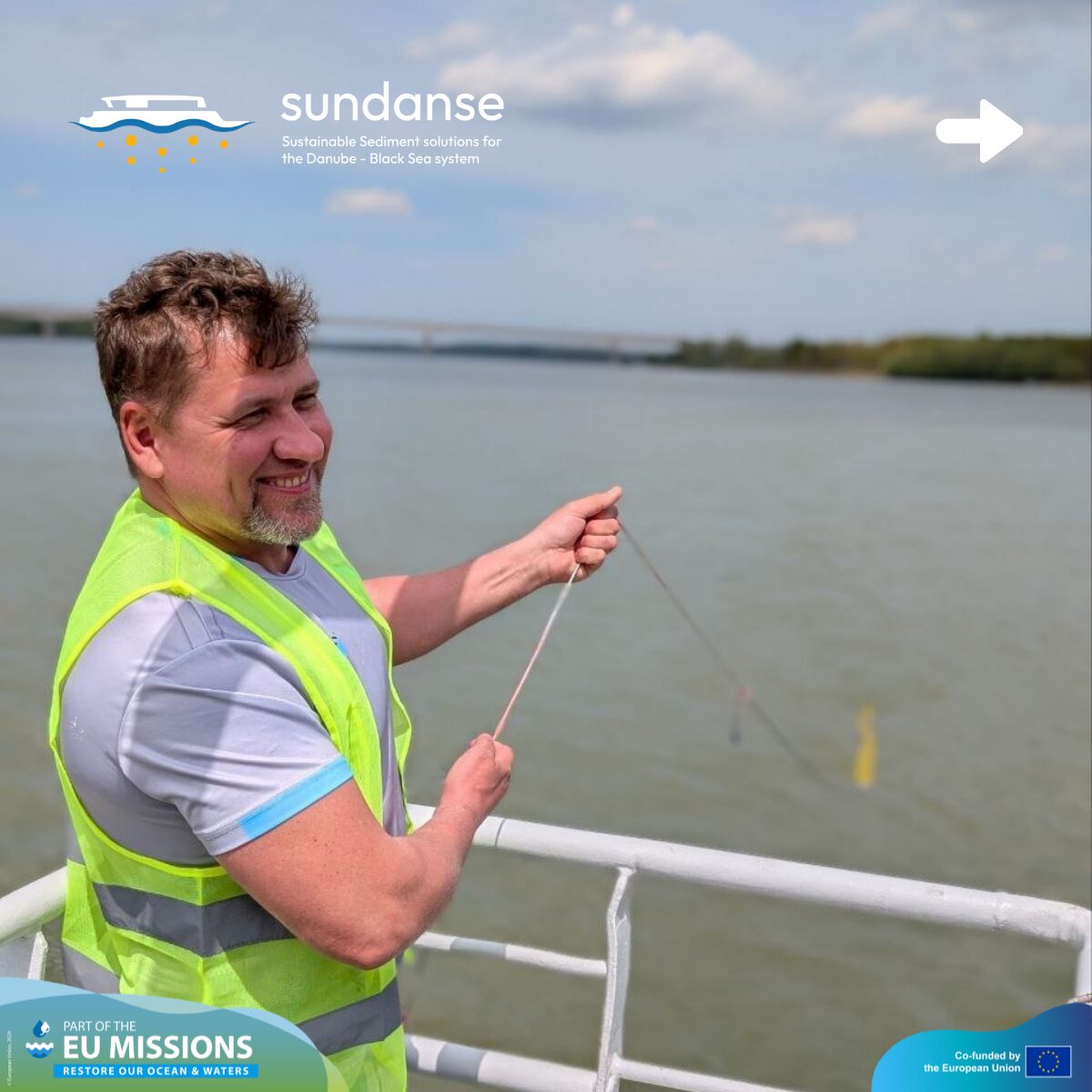
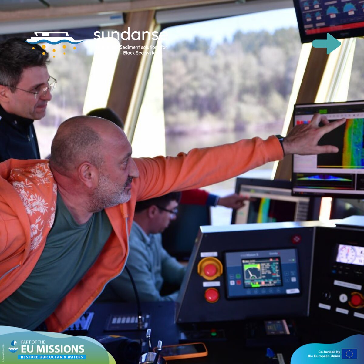
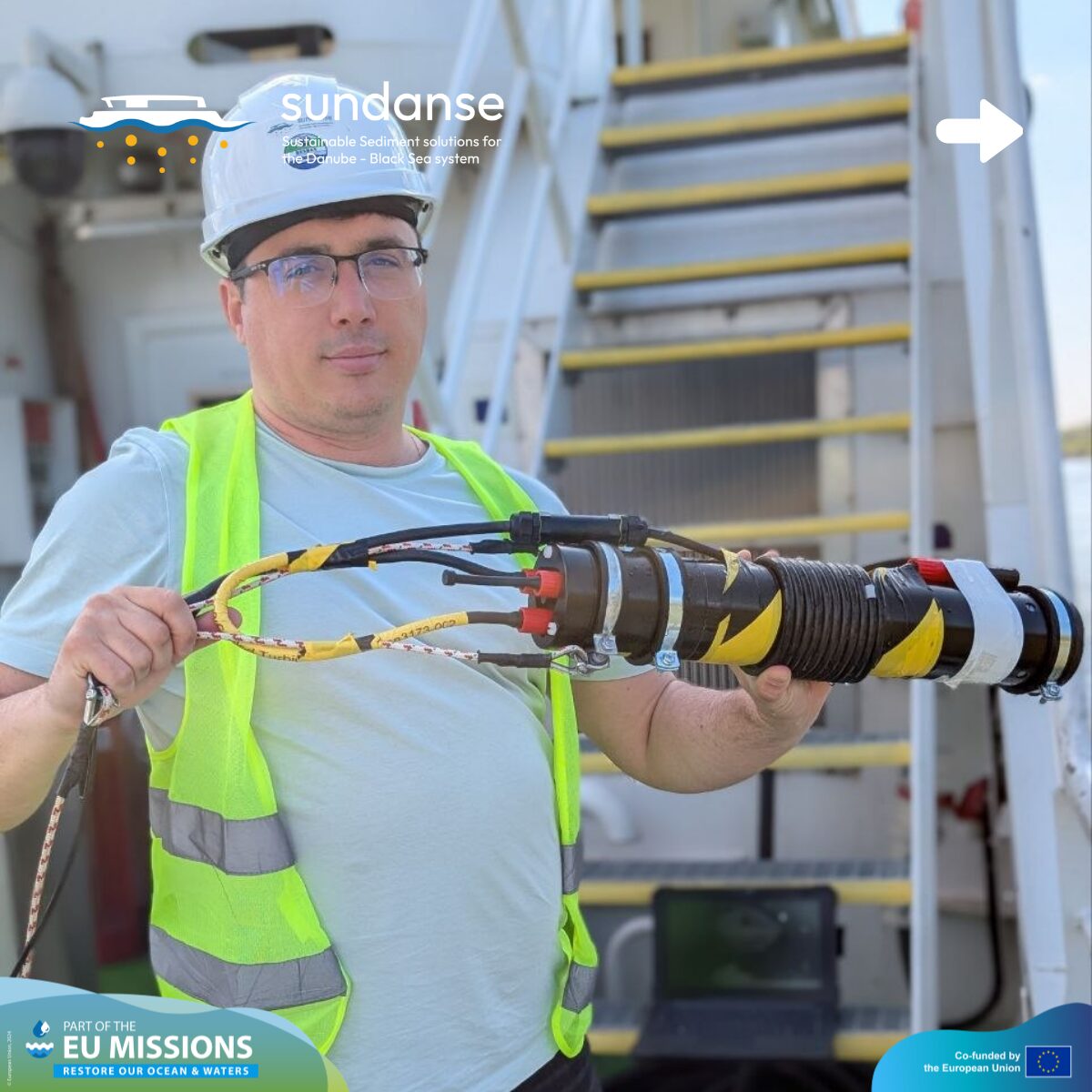
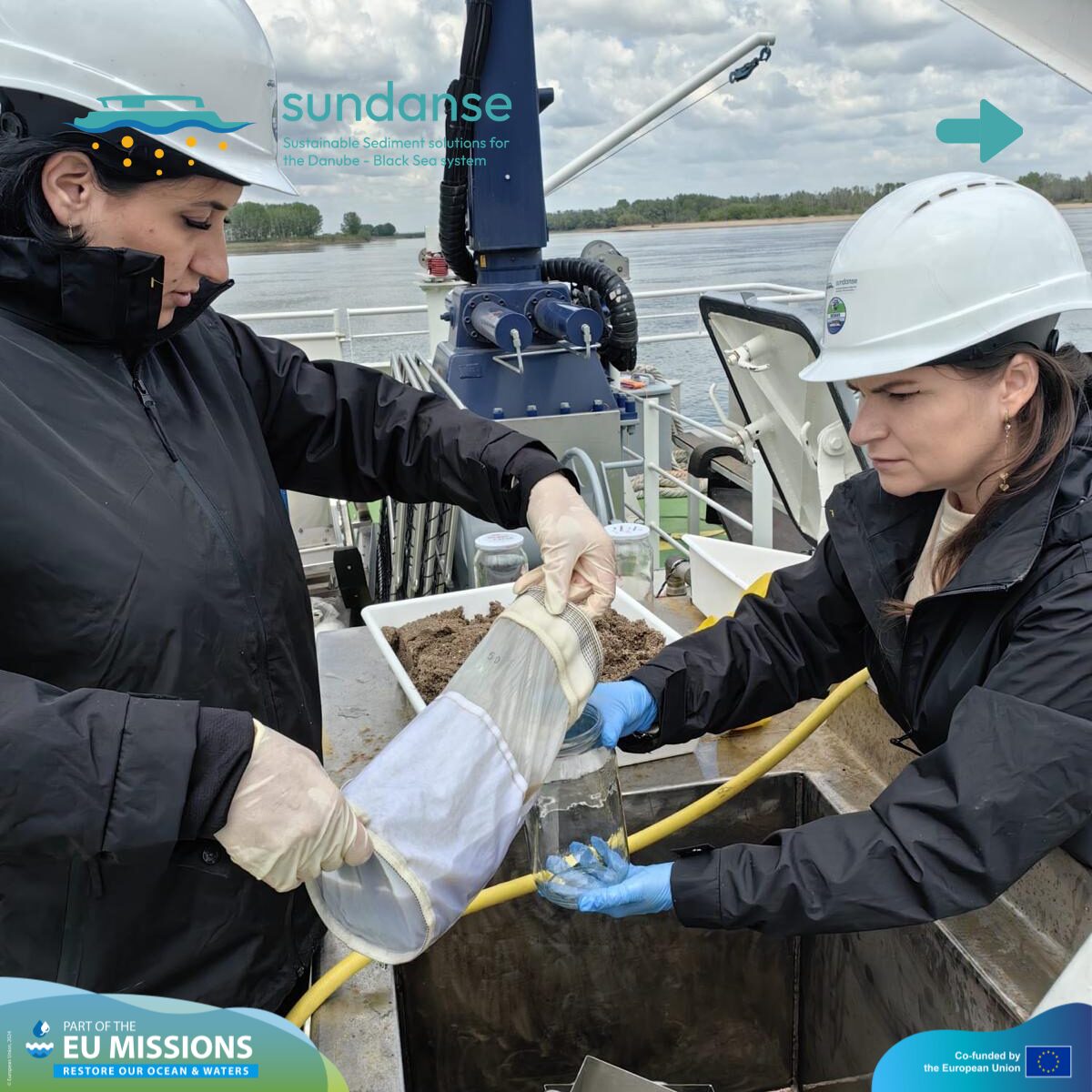
Activity 2: Bathymetry, Flow, and Discharge Profiles (rKm 603–625)
Understanding how the water actually moves is essential for safe navigation and environmental protection. We were looking at three things simultaneously: how deep the water is, how fast it moves, and how the sand on the bottom is shifting. In other words, to establish an integrated baseline for the river between Corabia and Turnu Măgurele, the team combined velocity, discharge, and depth measurements, plus we did an additional bottom sampling. This baseline is essential for supporting safe shipping navigation and calibrating our computer prediction models.
-
Measuring the current: Using Acoustic Doppler Current Profilers (ADCP) on moving boats, we recorded water velocity and river discharge from bank to bank across 11 key transects: km 603, 605, 610, 614, 615, 616, 617, 618, 619, 620, and 625. We are investigating the relationship between water speed and sediment movement at critical bends and narrow sections.
-
3D riverbed mapping: Using multi-beam echo sounding, the team mapped the navigable channel’s bed elevation to detect morphological features like underwater dunes, pools, and riffles. By comparing this new dataset to our 2024 and 2025 survey campaigns, we can re-evaluate exactly where the river is eroding and where it is depositing sediment over time.
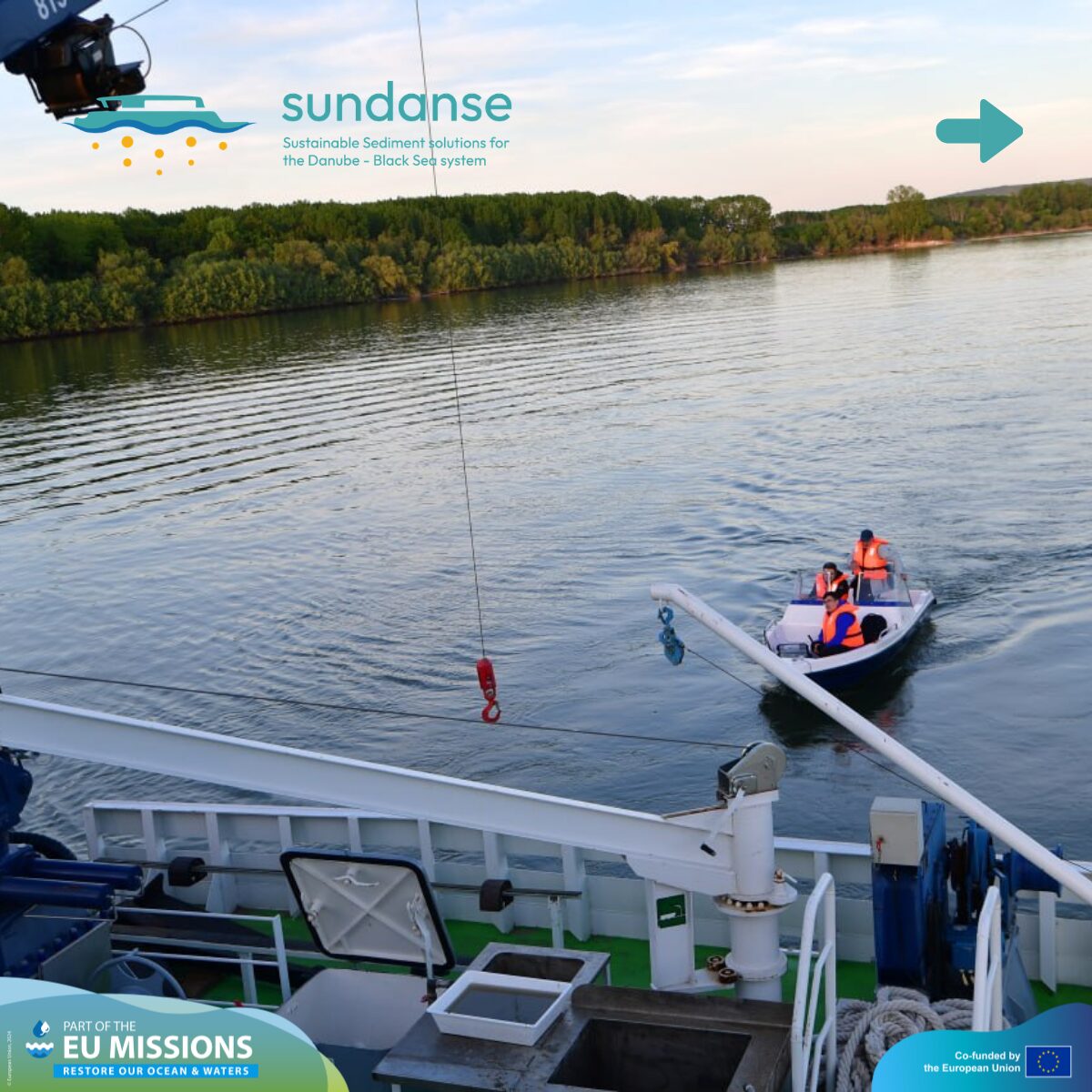
- Sampling the bottom: We collected sediment from the riverbed to see how it moves at critical bends and narrow sections.
Activity 3: The Vessel Speed test
On April 28, the team focused on a specific experiment between km 601 and km 609 to investigate how commercial shipping impacts the riverbed. Natural conditions like depth and flow influence the river, but human factors like navigation play a massive role.
We selected four distinct sectors with water depths ranging between 3 and 10 meters and tested how much sediment gets kicked up (resuspended) into the water column under different conditions:
-
Controlled speeds: Running tests at 10 km/h, 14 km/h, and 18 km/h.
-
Real traffic conditions: Monitoring a commercial vessel passing through at roughly 9 km/h.
Combining this data with detailed depth profiling gives us valuable insight into how boat speeds affect riverbed disturbance, sediment transport, and the potential mobilization of trapped pollutants. The collected samples will quantify these variations and evaluate the exact relationship between vessel speed and resuspension.
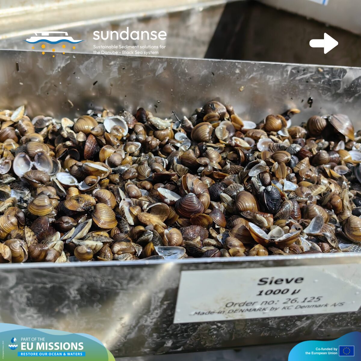
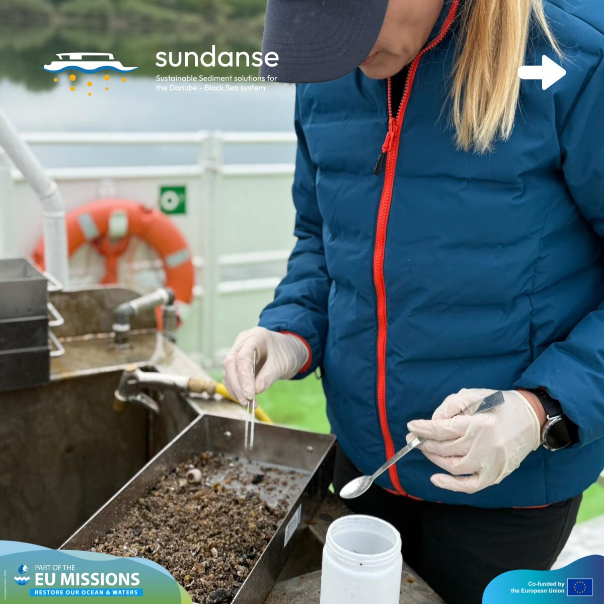
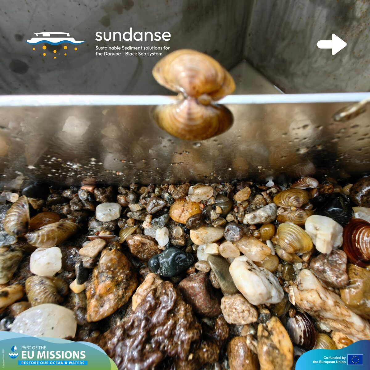
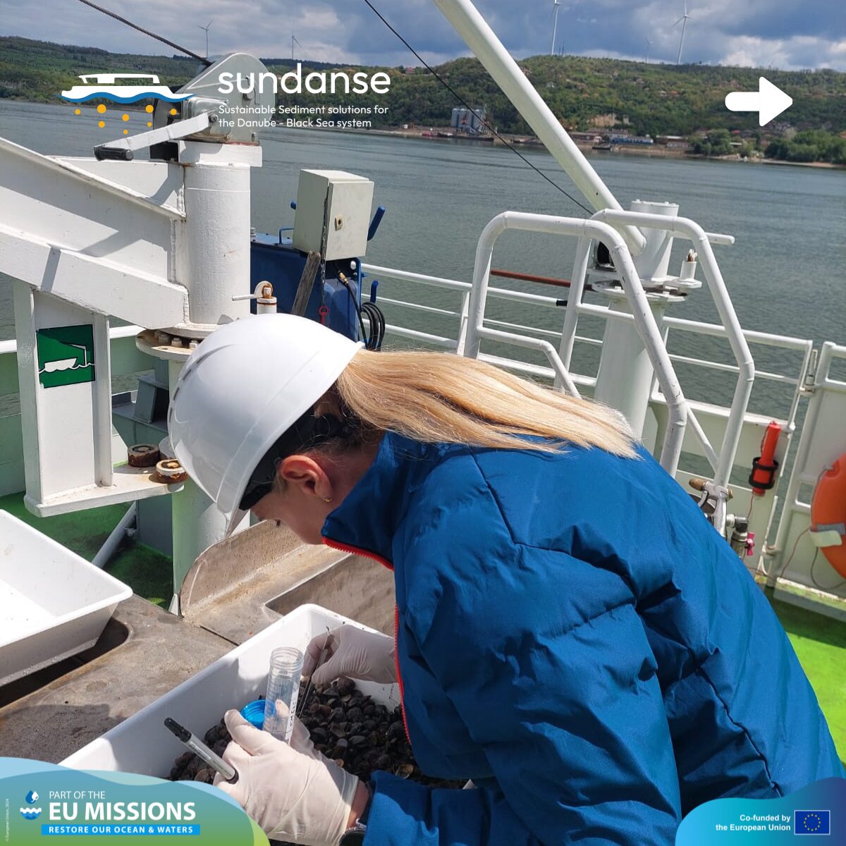
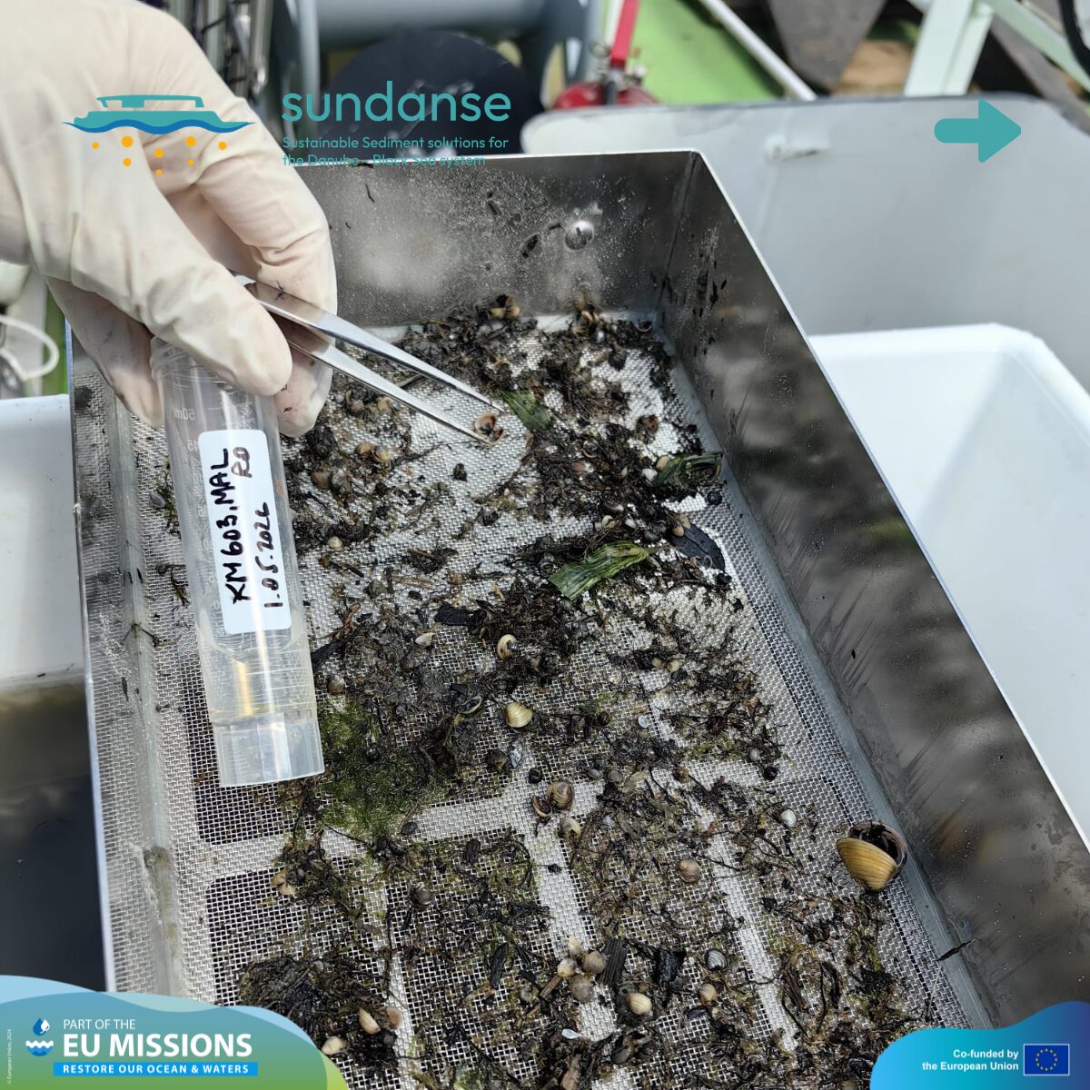
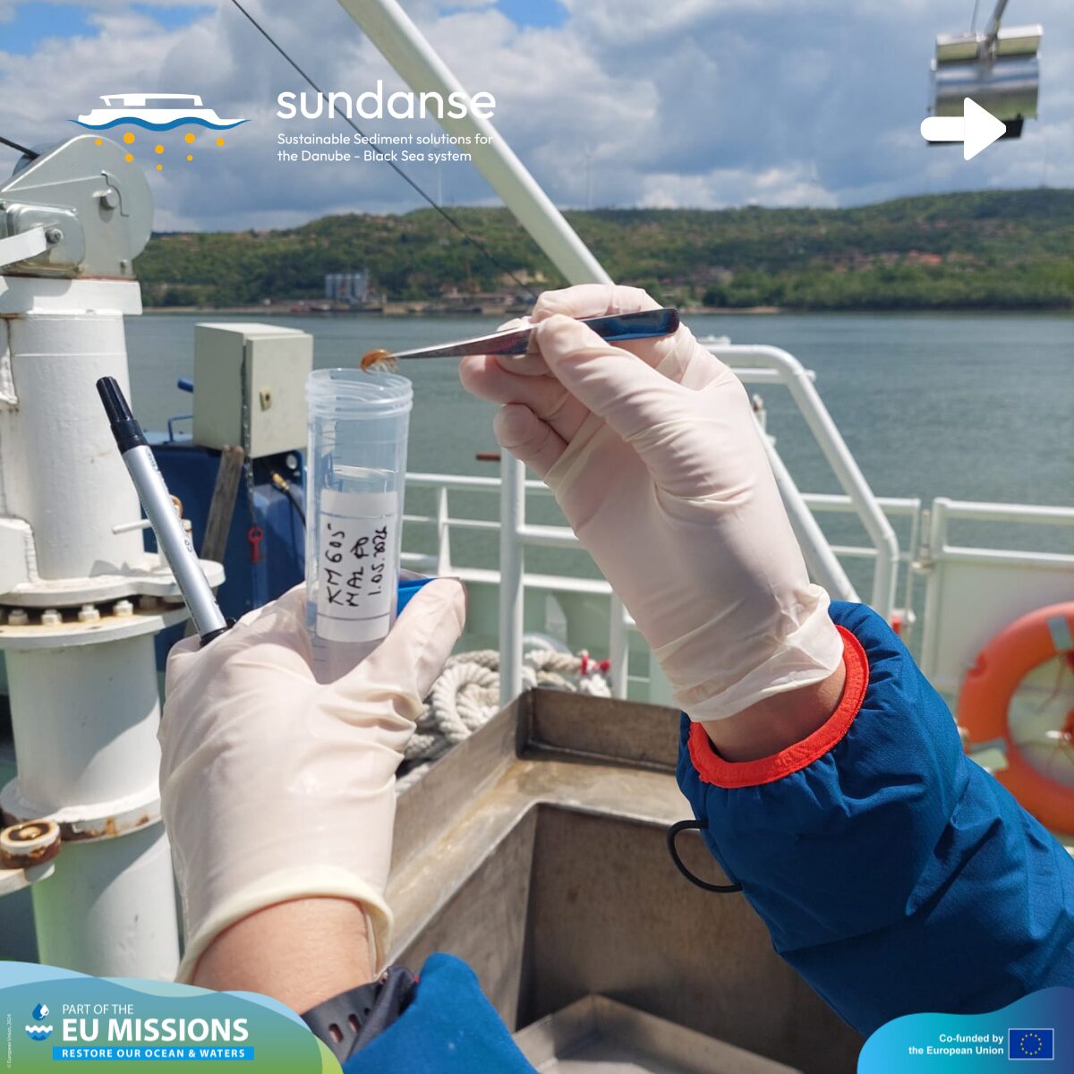
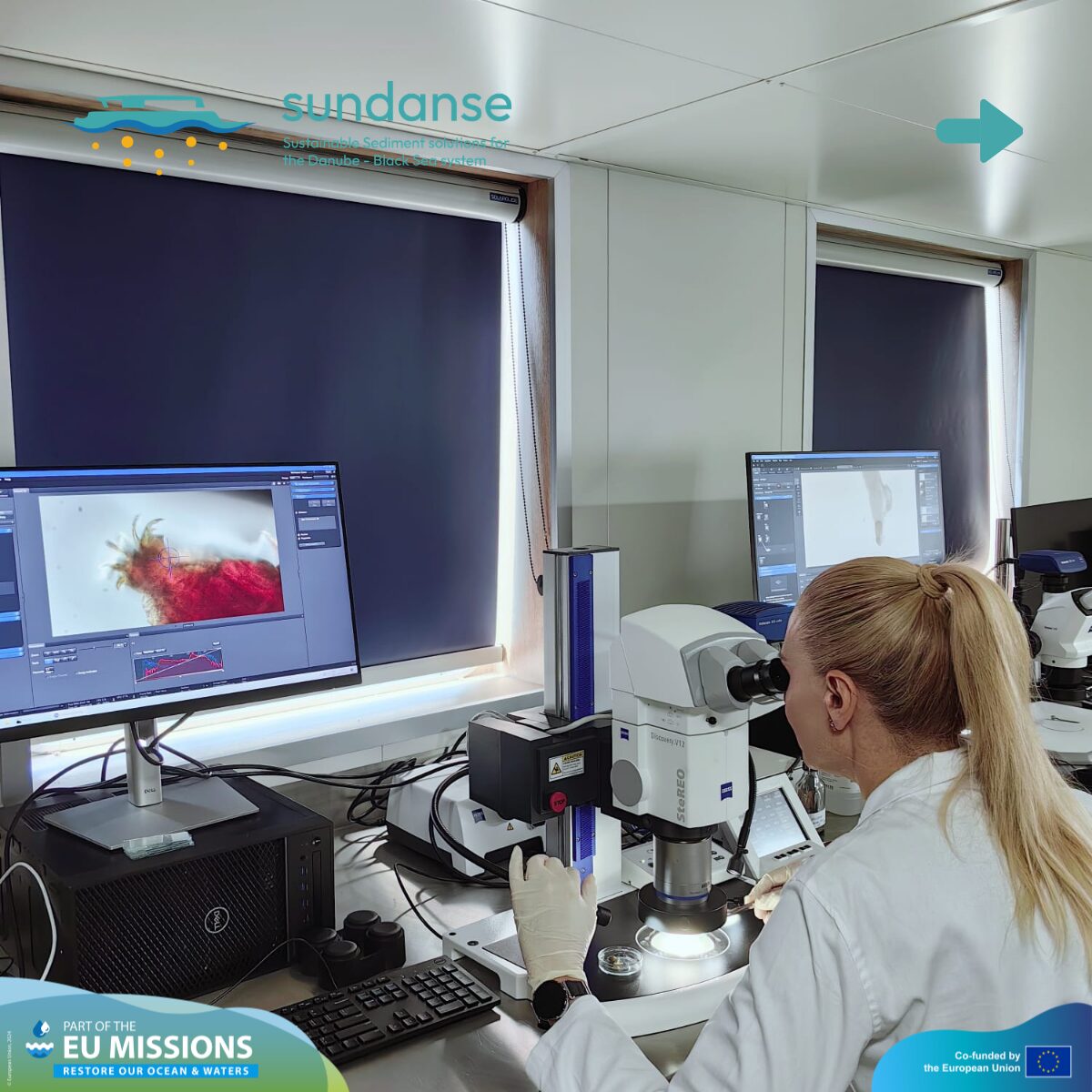
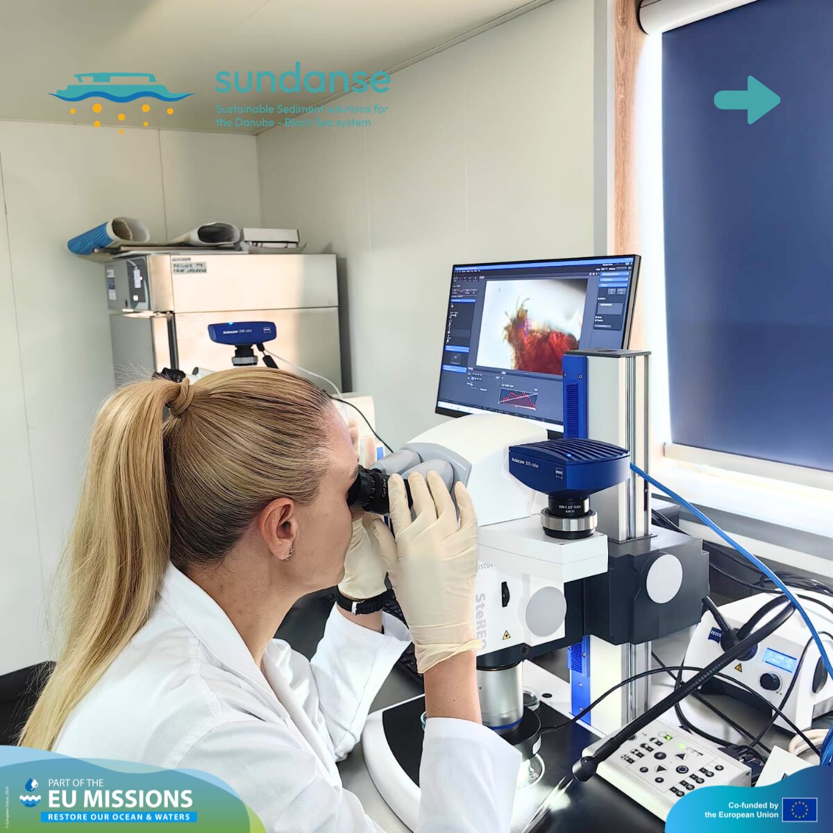
Activity 4: Benthic Biology & Ecological Status
Environmental health isn’t just about chemistry; it’s about the life thriving on the river bottom. During the mission, the team collected samples of benthic macroinvertebrates (small bottom-dwelling organisms like larvae, snails, and worms).
These organisms act as a natural biological alarm system. Because they live in the sediment, they give us long-term insights into:
-
The presence and effects of pollutants.
-
The overall level of aquatic biodiversity.
-
How much the ecosystem has been altered by human pressures like river regulation, damming, and heavy navigation.
Moving forward, we will continue seasonal sampling to expand this biological dataset, ensuring better spatial and temporal coverage. This data will be compared with previous campaigns to identify long-term trends and validate the river’s ecological responses.
What’s next? From the Danube to Antwerp
While the field mission is over, the work is just beginning. All the samples have been sent to the laboratory for analysis. The data we’ve collected is also being sent to our partners at Flanders Hydraulics in Belgium. There, it will be fed into a physical scale model and digital simulations. By using this fresh data from the Danube, we can ensure that our prediction tools are as accurate as possible, helping us manage the river more effectively for years to come.
